Projects

Projects
Those who live in the Maira Valley are aware of its uniqueness. In August 2013, a group of local entrepreneurs decided to found the Consortium to support its promotion together, with ideas and constant commitment. All the activities and projects undertaken for the development of the valley have as their basis the protection of the heritage (historical, cultural, landscape) and respect for the environment. The Consortium's main tasks are the tourist promotion of the Valle Maira destination, the ordinary maintenance of the path network and the management of the tourist offices. To carry out these activities, it relates to local organizations and businesses, preferring collaborations with professionals operating in the area.

HIKING NETWORK SIGNAGE UPGRADING PROJECT

The Project in question stems from a concrete analysis carried out on the feedback obtained from users of the Maira Valley trails and from the strong awareness that the hiking network is an undisputed asset, as well as the main tourist attraction, of this territory.

The Maira Valley Tourist Consortium, aware that this network needs a coordinated intervention aimed at improving signage, has decided to hold a Competition in order to identify the most suitable Project for this purpose.

A Project that aims at the support and improvement of signage, but at the same time with care not to make it excessive and redundant.

It will also be the care of the Tourist Consortium to submit this Competition and the selected Project to the attention of local administrations and the Maira Valley Mountain Union.

Itineraries subject to intervention

This project should be a natural continuation of the activities already carried out in support of the trail network.

Therefore, the itineraries subject to intervention should be:

-No. 66 routes already the subject of cartographic intervention of dedicated funding (list and routes available on GoogleDrive);
-Track named “Occitan Trails”;
-Trail named “Sentiero Italia CAI” and trail named “Sentiero GTA”;
-Trails present in the Morellini and Kompass “Valle Maira” guidebooks.

Maira Valley hiking map (66 trails)

We present here the draft hiking map of the Maira Valley. The map has a scale of 1:25000, by far the most popular with tourists and walkers of all ages and levels of fitness. In detail, the hiking map-printed front and back on waterproof and durable Pretex paper backing, 90×100 size, with a customized cover-reproduces the territory of the Maira Valley. Upper-Middle Valley on the front, Lower-Middle Valley on the back.

The territorial base is extracted from the Valle Maira 1:25 000 map by Escursionista Editore (front and back), complete with rocks, scree and highlighting, with fully customized graphic elaboration for the Maira Valley Tourist Consortium including highlighted routes and graphic layouts with practical information of 66 well-known and popular hiking routes in the area, routes that were designed with the help of CuneoTrekking, a well-known and established local reality regarding services supporting hiking.

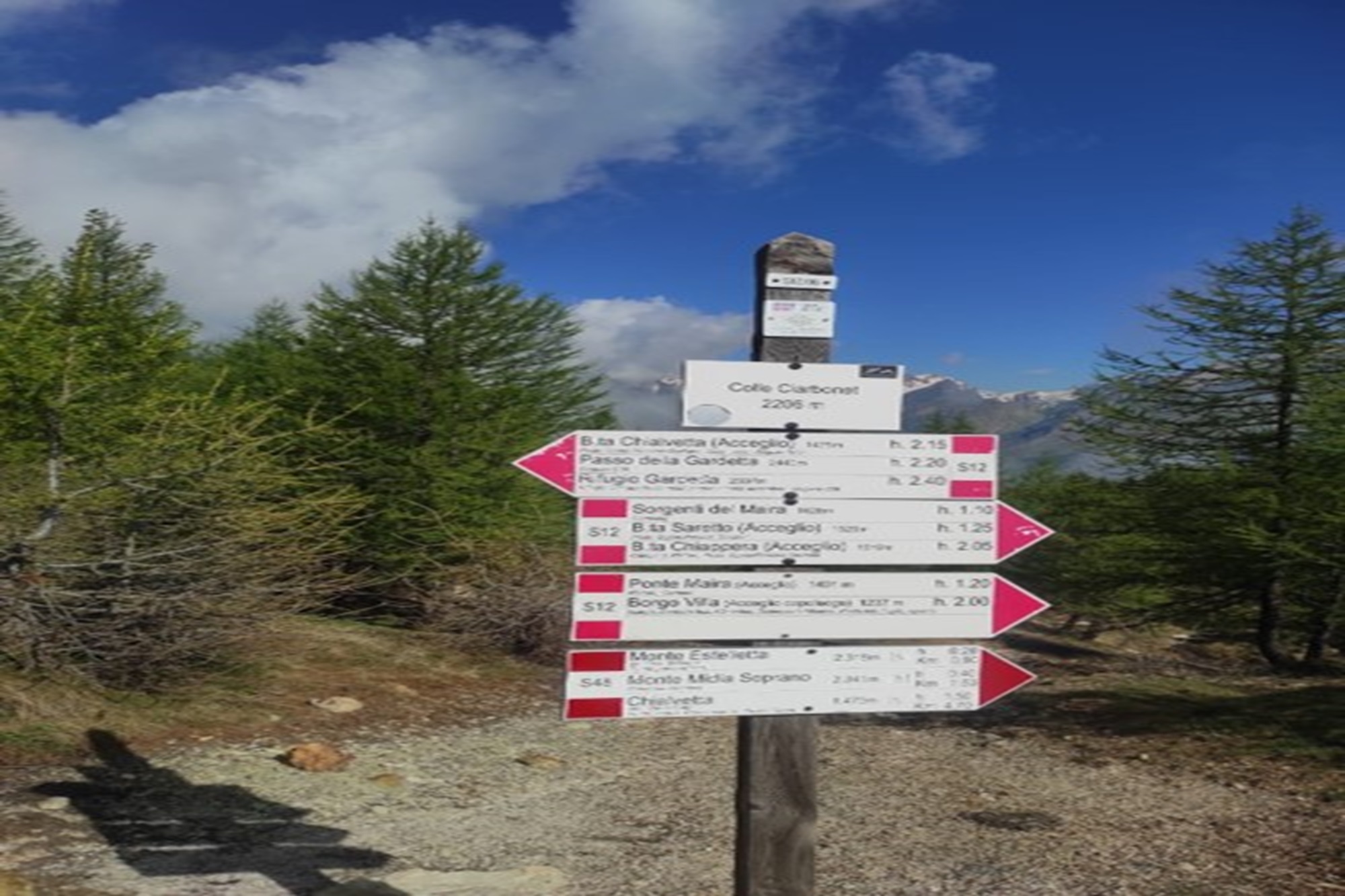
The hiking map with the 66 trails we customized is in fact a project that already dialogues with the already completed project of redoing the Maira Valley signage: with it, we have affixed tourist information signs in strategic areas of our territory with these same 66 trails and additional information shown.
This is because we intend to give a coherent and univocal image of our territory from the point of view of hiking and tourist support, the graphics and style of the texts of the hiking map and of the signage already present and located in the territory are in fact consistent and integrated.

Inside the map there is then a QR-code that allows you to connect to our platform vallemaira.org in the hiking section; from there you can view the digital version of the trails and download – eventually and free of charge – their gpx tracks.

We believe that this realization will have great prominence, both because it will be in continuity with the already highly appreciated work of redoing the signage. But especially because we know how much such a product was missing in our area, which is so much marked by the tourist offer of the trekking-hiking sector.

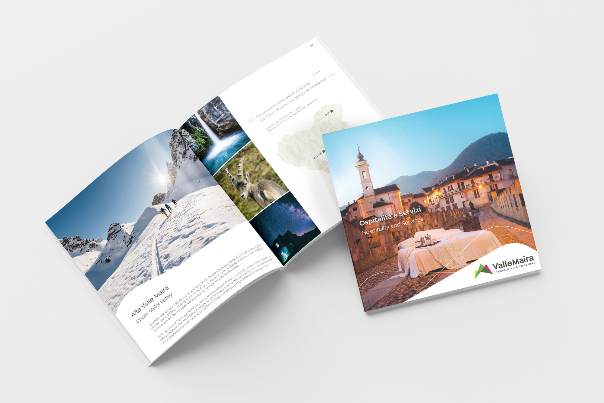
Hospitality and services Guide

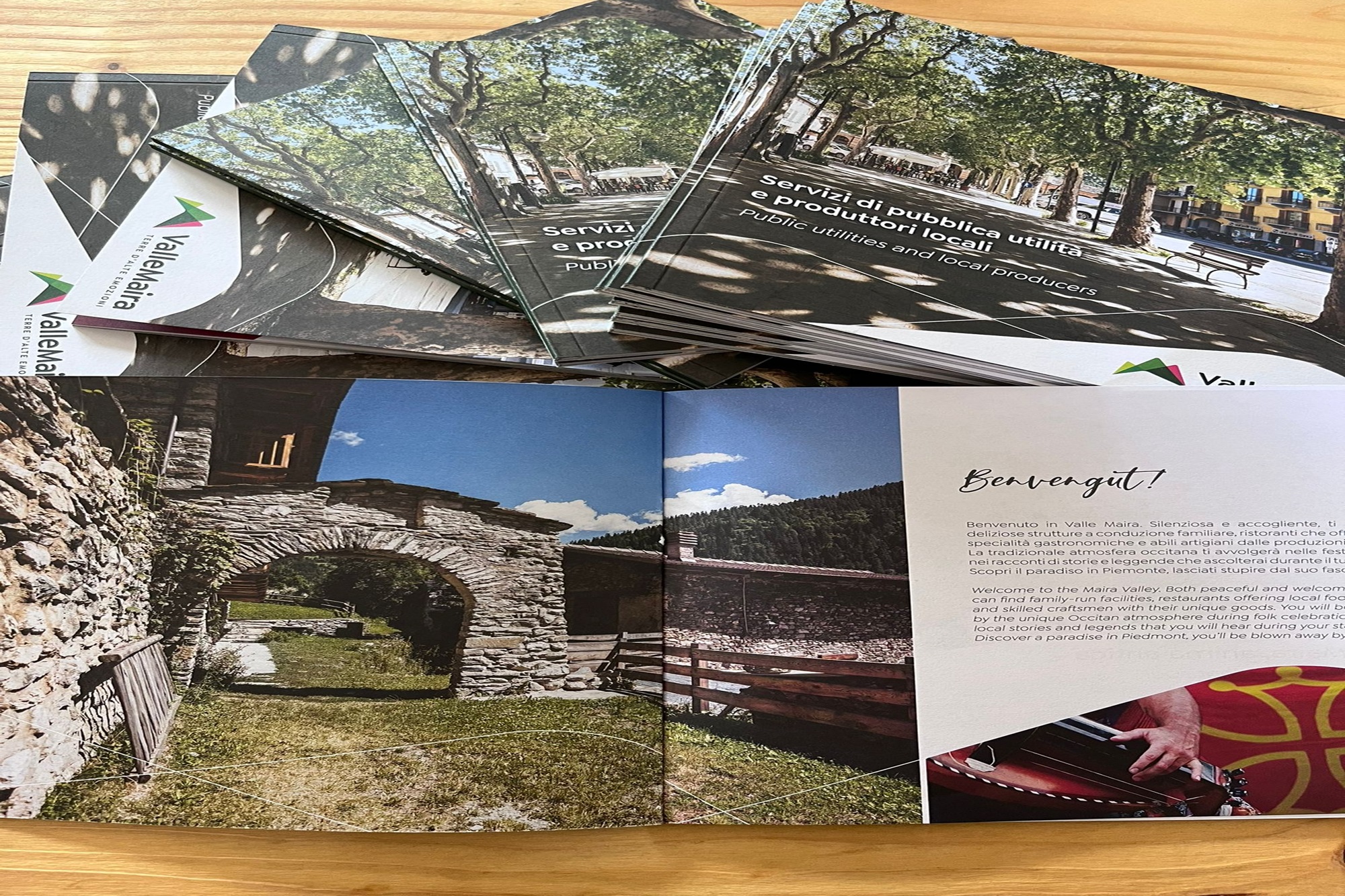
Our Maira Valley Hospitality Guide is a complete and comprehensive printed product, in which are included all hospitality proposals in the valley and for all types of services required.

A careful selection of points of interest, of top itineraries for the lower, middle and upper valley, of typical and artisan products of the valley, of services offered on site, will guide the reader to discover the Maira Valley destination through a practical and beautiful support, far from the usual screens!

A valid and precise support to the tourist to guide him to the discovery of the valley and to the choice of the most suitable accommodation to his expectations, giving the right visibility to the facilities that offer hospitality in the valley.

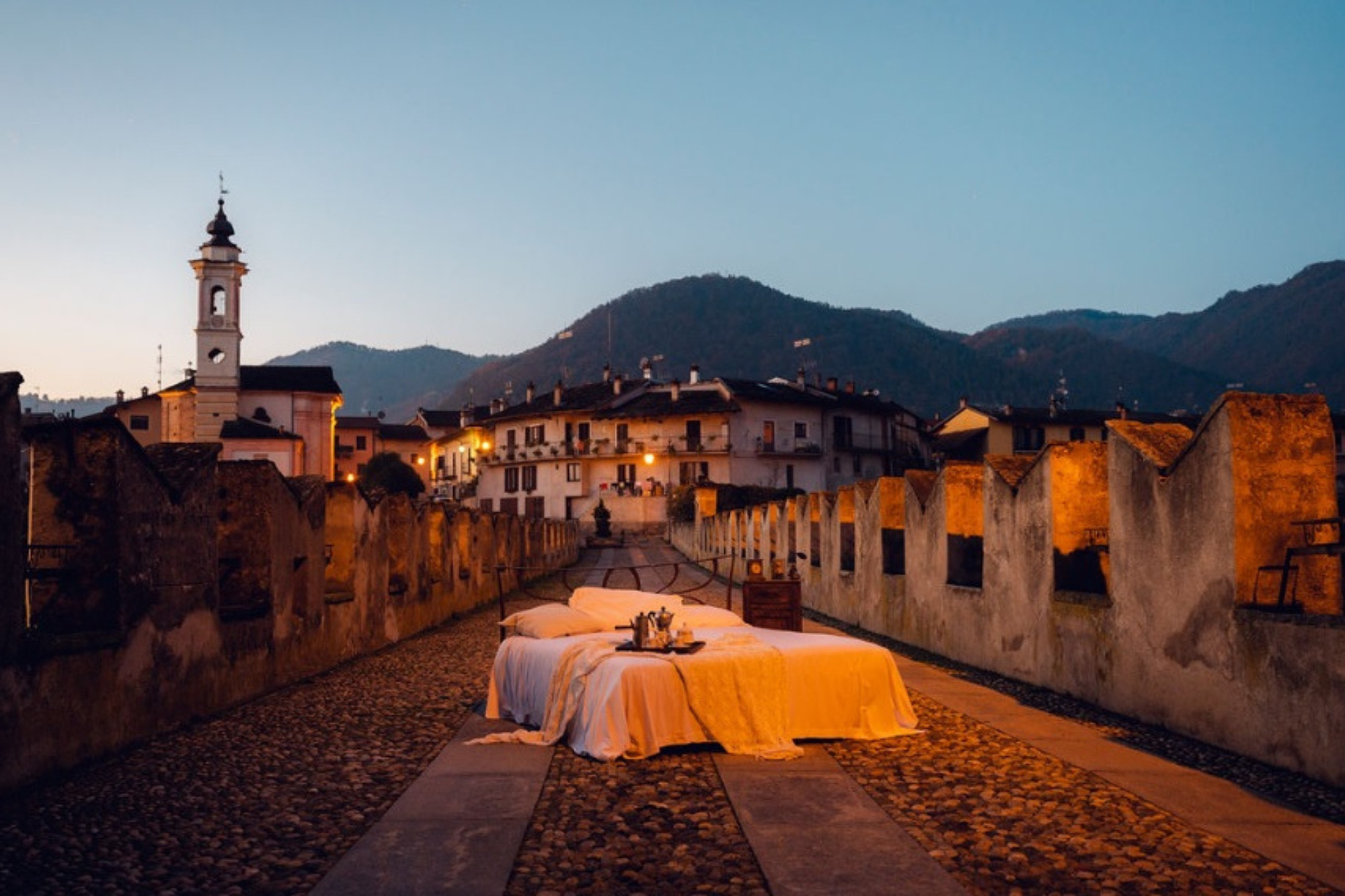
Stop by one of the Maira Valley tourist offices and ask for a copy: your trip to the valley will start right from the cover!

Stop by one of the Maira Valley tourist offices, or at the ATL of Cuneo, and request a copy: your trip to the valley will start right from the cover!


Accessibility Project

The Maira Valley continues to expand its horizons and focuses on accessibility as a goal and strength. The first step is to allow the use of its natural, historical, architectural and cultural heritage in an increasingly wide and varied way to all categories of people.

The first project that we carry out in this direction is expressly aimed at people with visual impairment, in particular visually impaired and blind/blind people. A project that was born with the actions of which we will talk here below but that – in a long-term perspective – will tend to gradually expand and further involving the Valmairese area and the municipalities that constitute it.

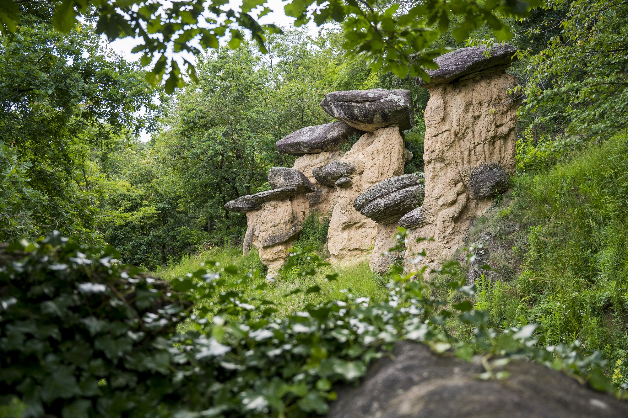
Therefore, the “first stage” of the new inclusive accessibility line that the Maira Valley is following starts from Villar San Costanzo, and more precisely from the Ciciu del Villar Nature Reserve. Here, in this context of geological-naturalistic value, the project actions aim to make the area of the reserve accessible and accessible to the visually impaired, as well as to the motor disabled, thus constituting a complementarity of project actions aimed at accessible use.

In detail, the accessibility project for the Ciciu del Villar Nature Reserve in the municipality of Villar San Costanzo includes installations of 3 panels with tactile images (images printed with relief illustrations that realistically reproduce the edges of the figures so as to allow blind/blind and visually impaired people to figure the image in the mind allowing the association between tactile representation and corresponding object) and codes with NFC technology (Near Field Communication, translatable into “communication in proximity”, a technology capable of connecting two devices, located a short distance from each other, in wireless mode) allowing users with visual disabilities to access multimedia content such as audio-presentations that will allow in-depth analysis of natural, historical, architectural and cultural heritage.

The first 3 installations are dedicated respectively:

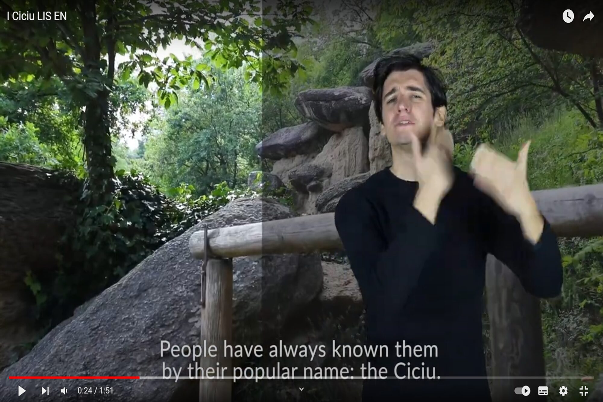
1) to the geological formation of the so-called “stone fungi”; in detail it will be placed near the first formation of the ciciu that is met once entered the Reserve (the so-called formation “the family”)
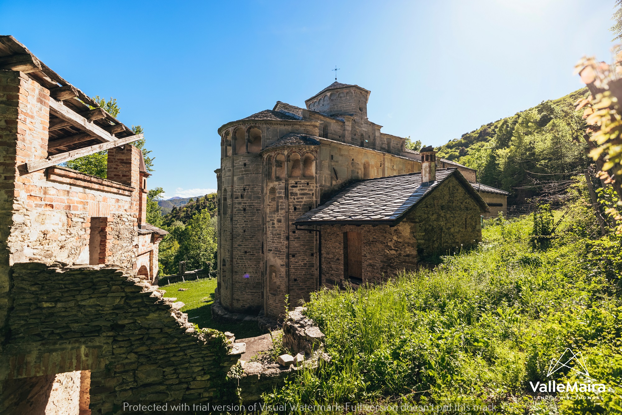
2) to the church/sanctuary of San Costanzo al Monte, one of the most interesting Romanesque monuments, and at the same time one of the least known of the Region
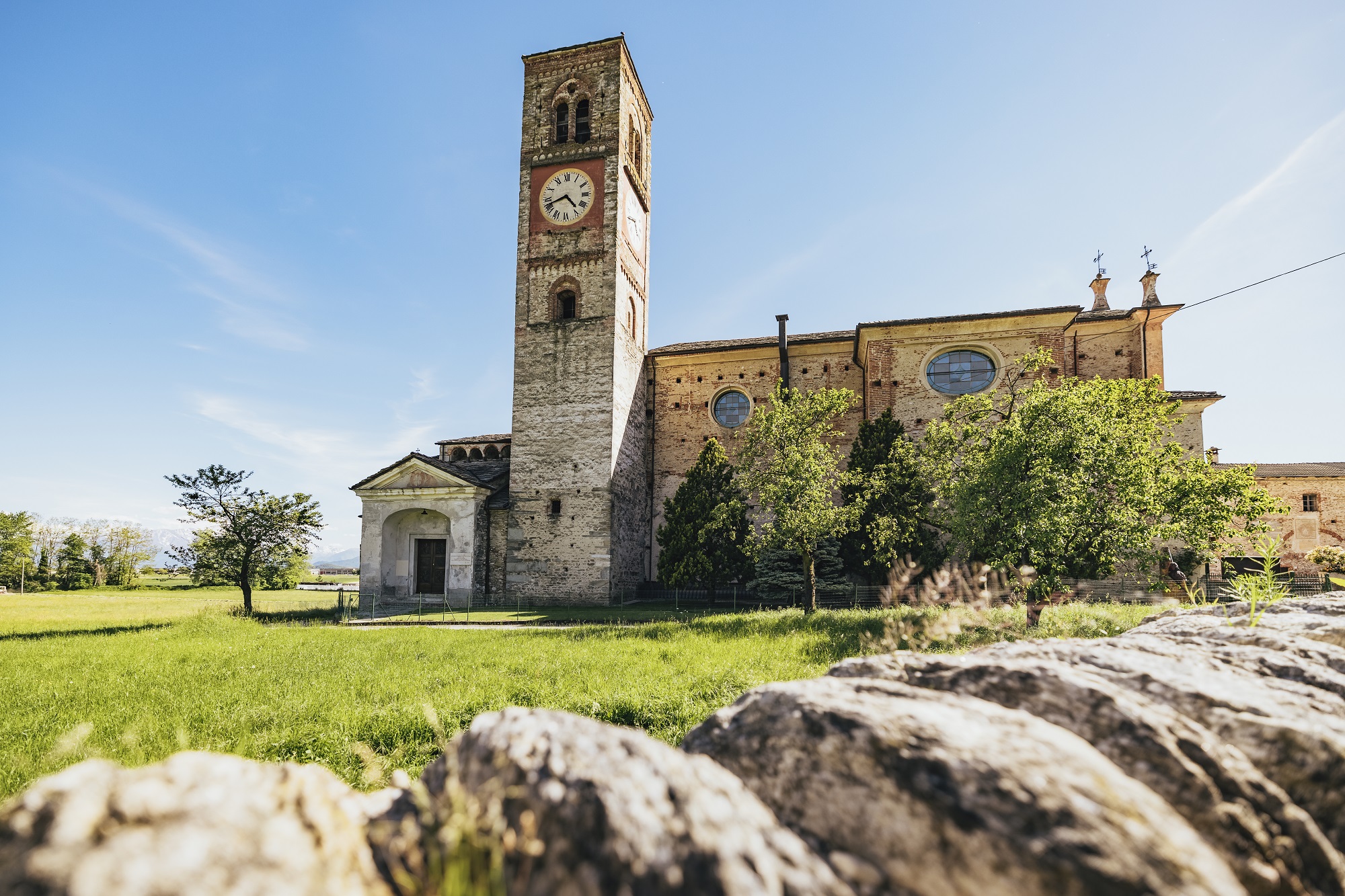
3) to the Ex Abbazia di San Pietro in Vincoli, an ancient Benedictine abbey now a church, with the 11th century Benedictine crypt and the funeral chapel dedicated to the abbot Giorgio Costanzia of Costigliole built in 1450.

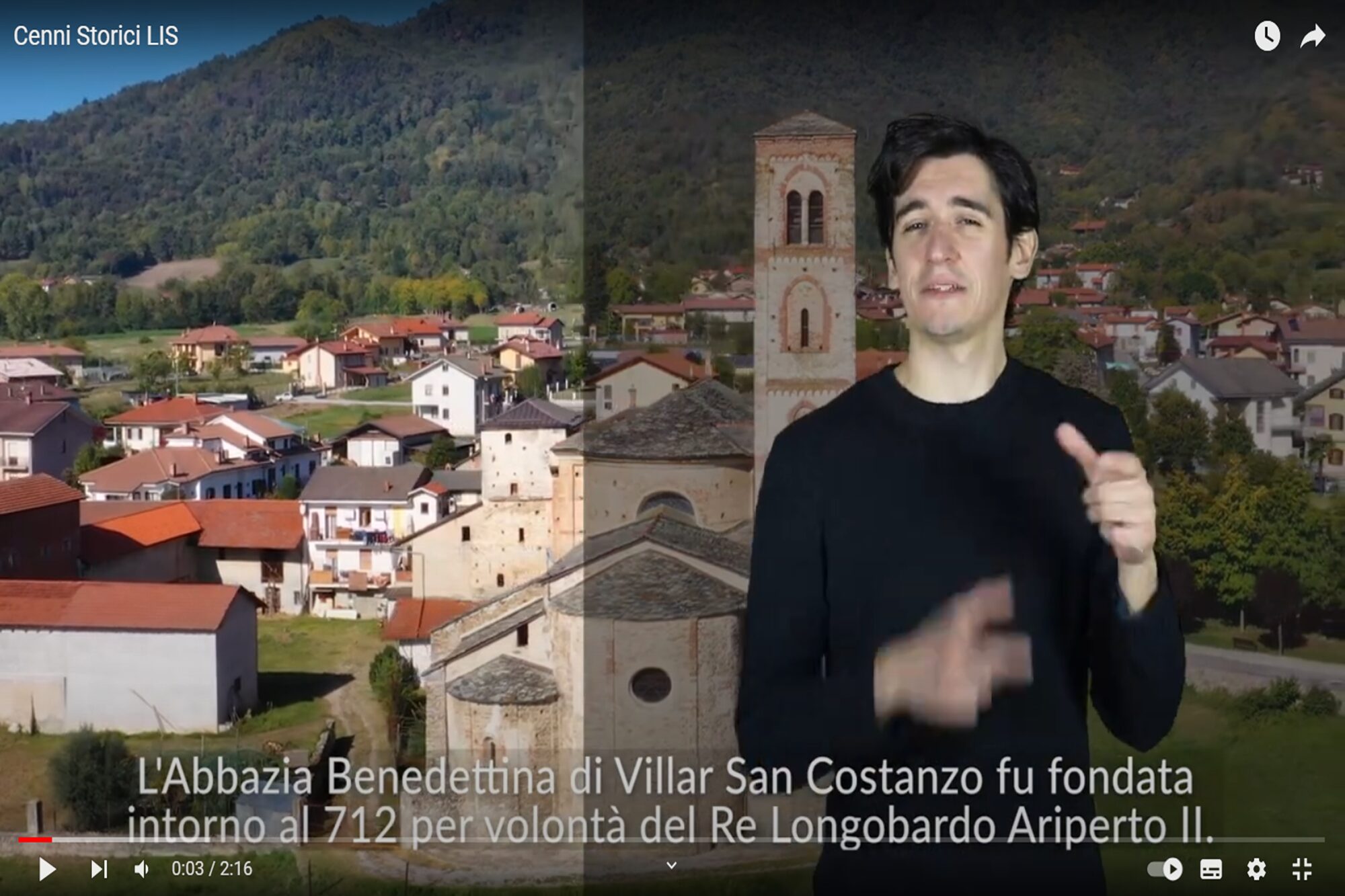
On these 3 installations went to integrate the “second stage,” the second part of the project – aimed at improving and increasing accessibility towards users with hearing and visual impairments – through the creation of videos dedicated to the 3 attractions mentioned above with audio track and subtitles in both Italian and English, integrated with supporting audio/video guides in LIS (Italian Sign Language) and IS (International Sign Language), made accessible on the same tactile panels with QR-codes that link to the YouTube page of the Museo Diffuso Cuneese, which kindly consigned the original videos. The audio/video guide integrations in LIS and IS were made with the fundamental contribution of the Ente Nazionale Sordomuti – Sezione Provinciale Cuneo and the filming company Vdea Produzioni.

Public utilities and local producers

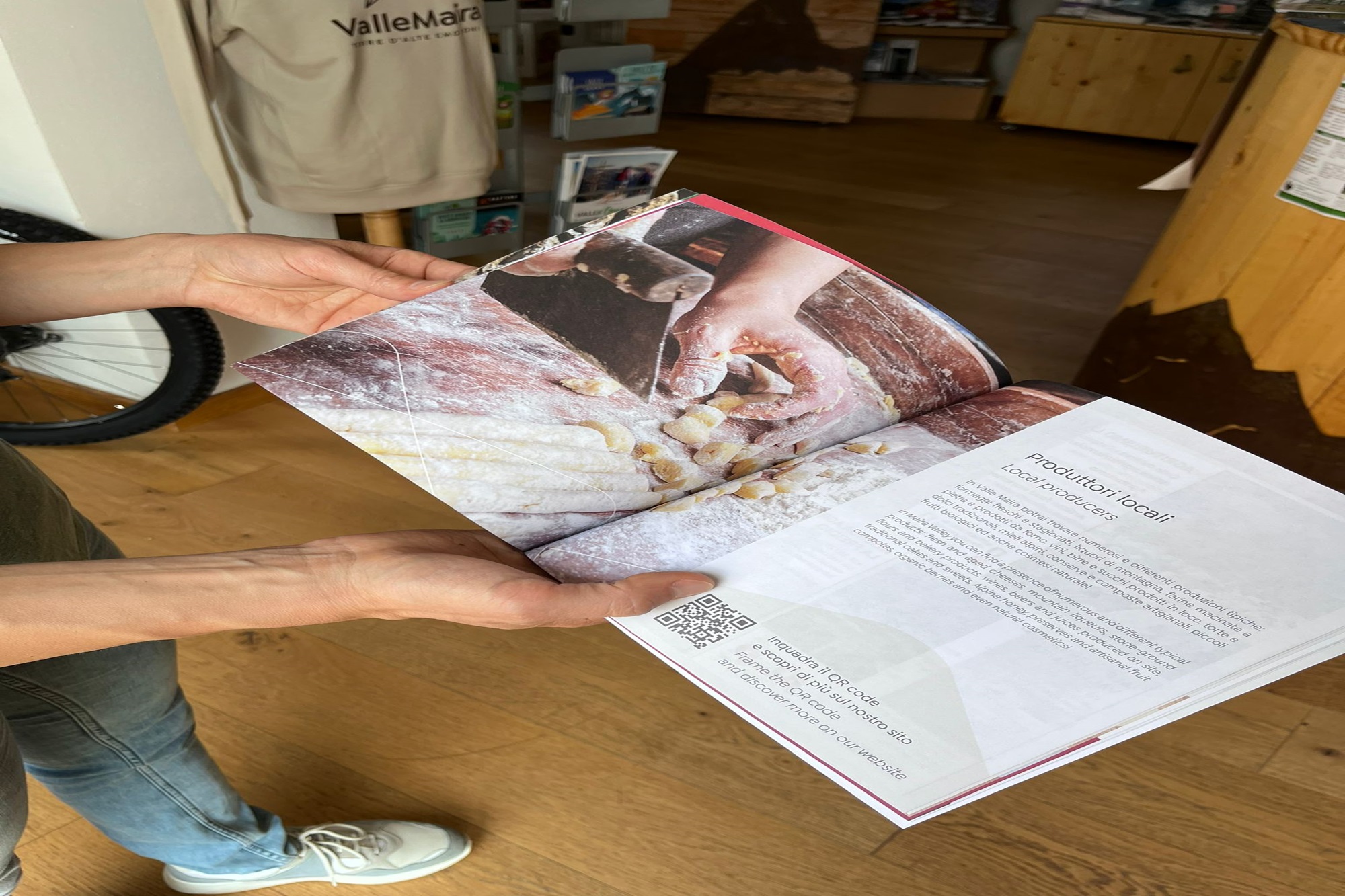
This guide was created with the intention of providing an answer to the many occasions when, tourists and residents, need to quickly and easily locate the references of the main services present in the Maira Valley: from those of public utility such as town halls, post offices, ATMs, to local producers, to the various categories of services of possible interest (health, food, local guides, etc.).

Stop by one of the Maira Valley tourist offices and request a copy!

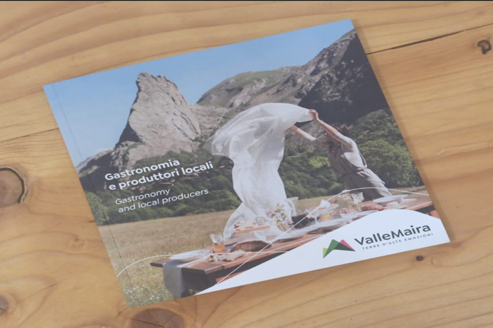
Gastronomy Guide

The Maira Valley Gastronomy Brochure is dedicated to the gastronomic proposals of the valley (restaurants, typical products, unique recipes, etc.). Within the brochure there is visibility for all the establishments that provide a restaurant service in the valley and to the producers of typical products, breeders, farmers members of the Consortium that with passion and dedication animate this valley offering a fundamental service for tourists and visitors.