Ninth stage
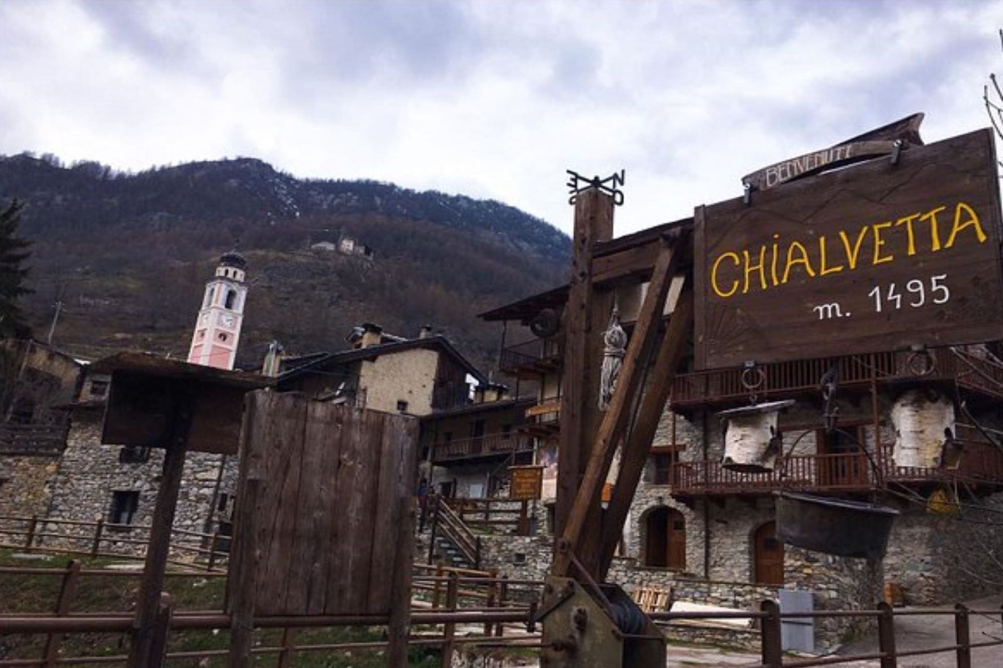
From Chiappera to Chialvetta

We are at the top of the Maira valley and after the turning point the long return to Dronero begins. But the fun is not over yet, because in this second half of the trip some of the most significant points of the entire itinerary will be touched, gradually rising in altitude.
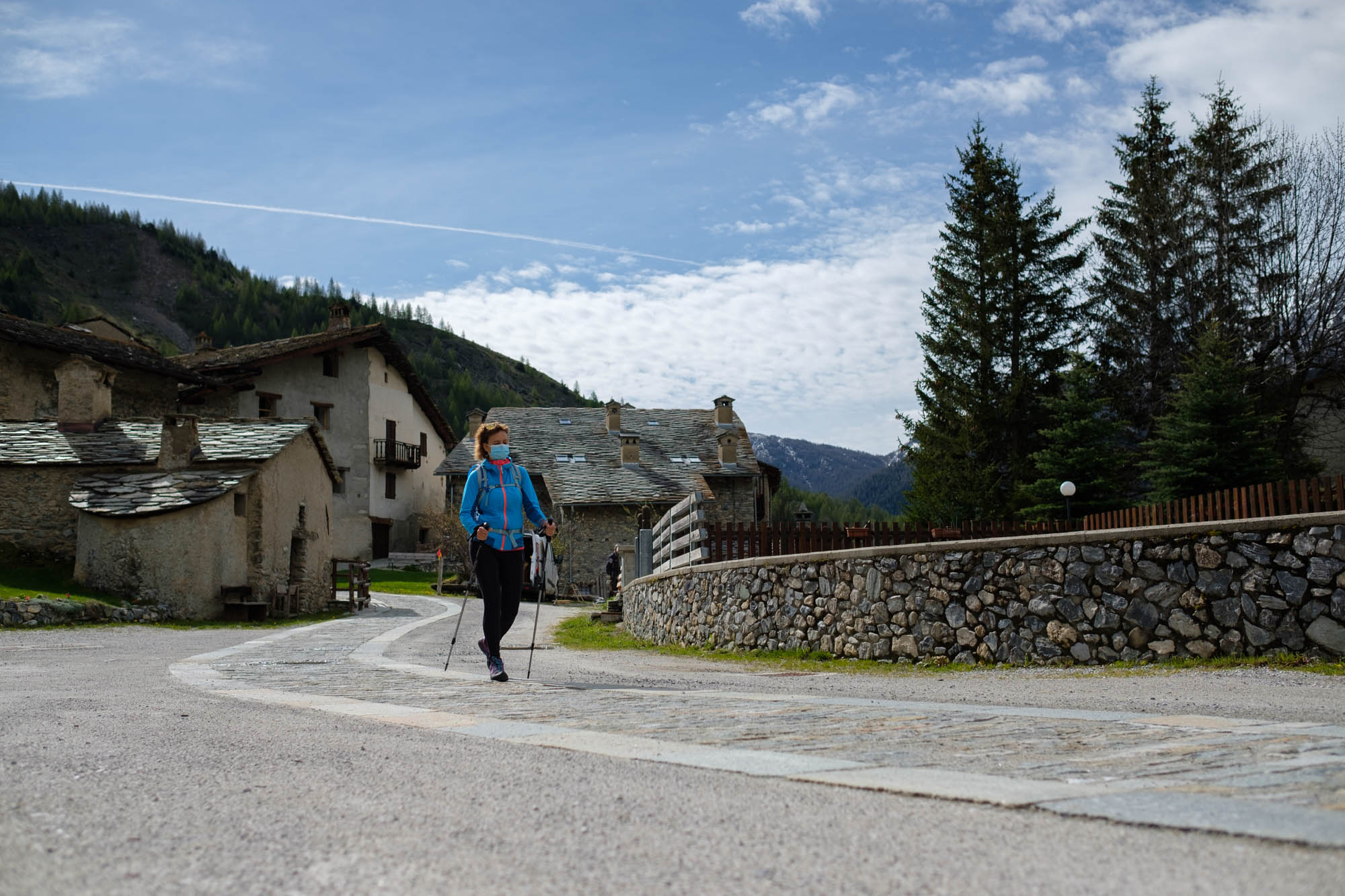
Once past the houses, with magnificent views of the ever-present Rocca Provenzale, take the main road on the left downhill towards Saretto.
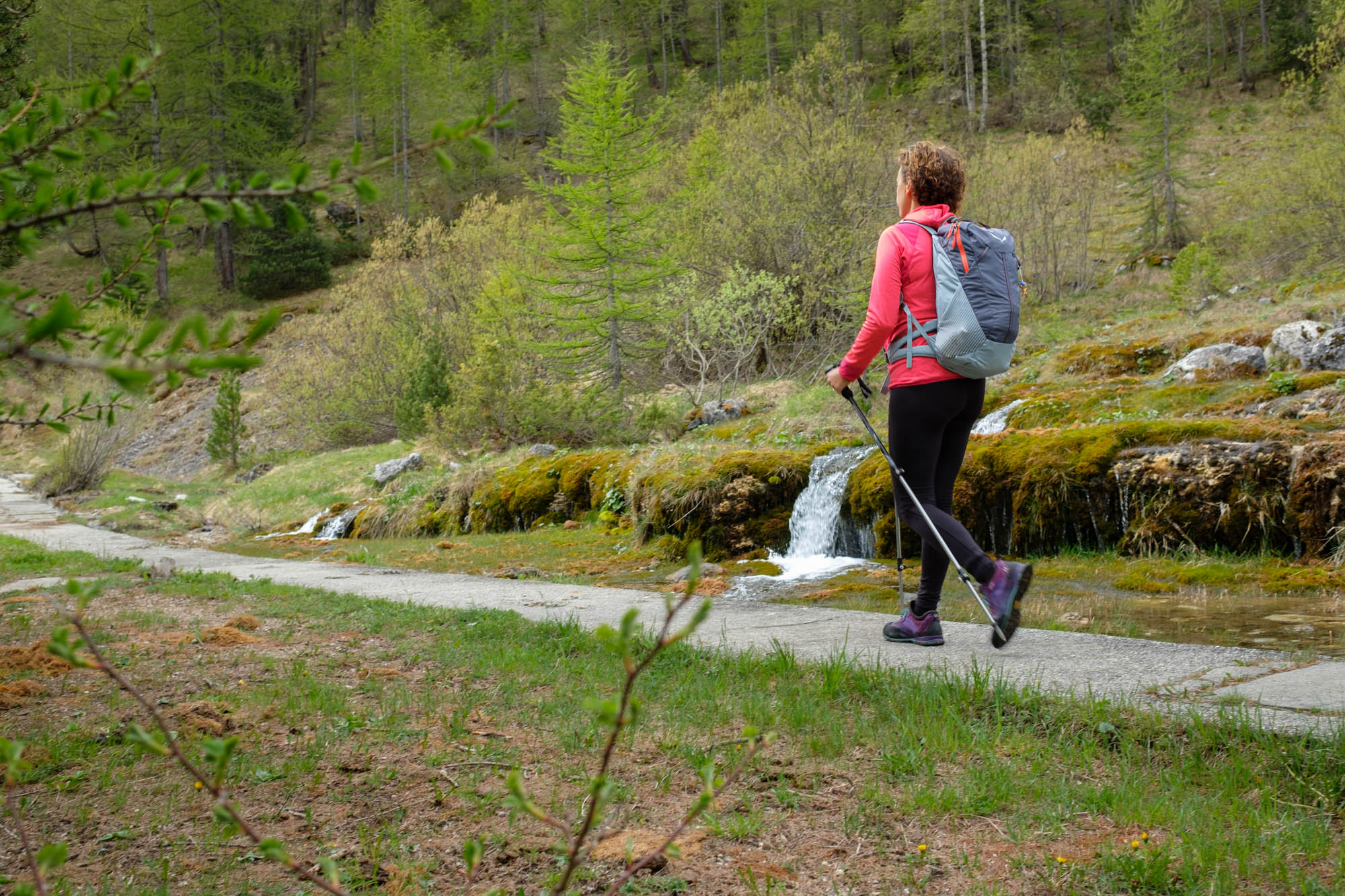
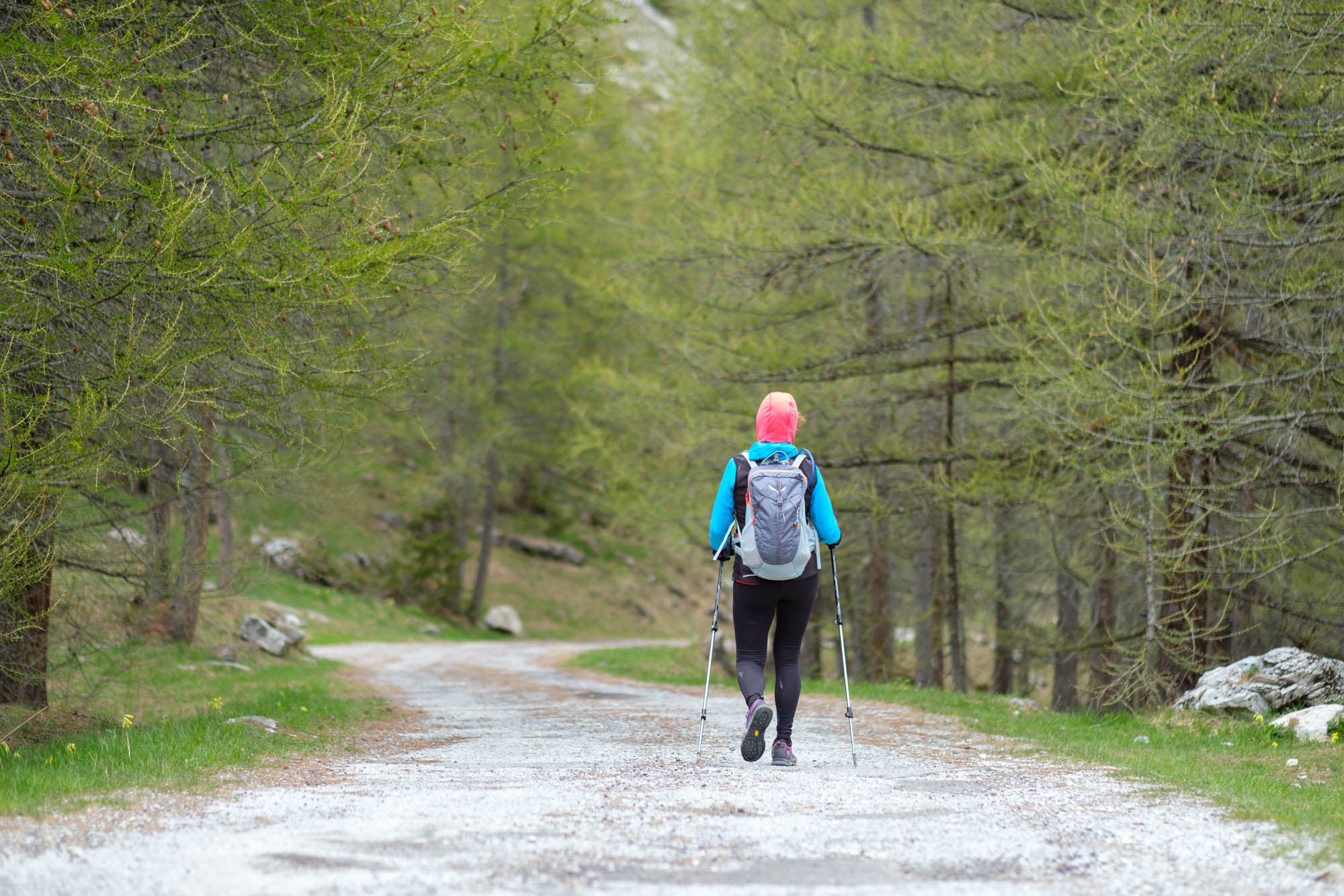
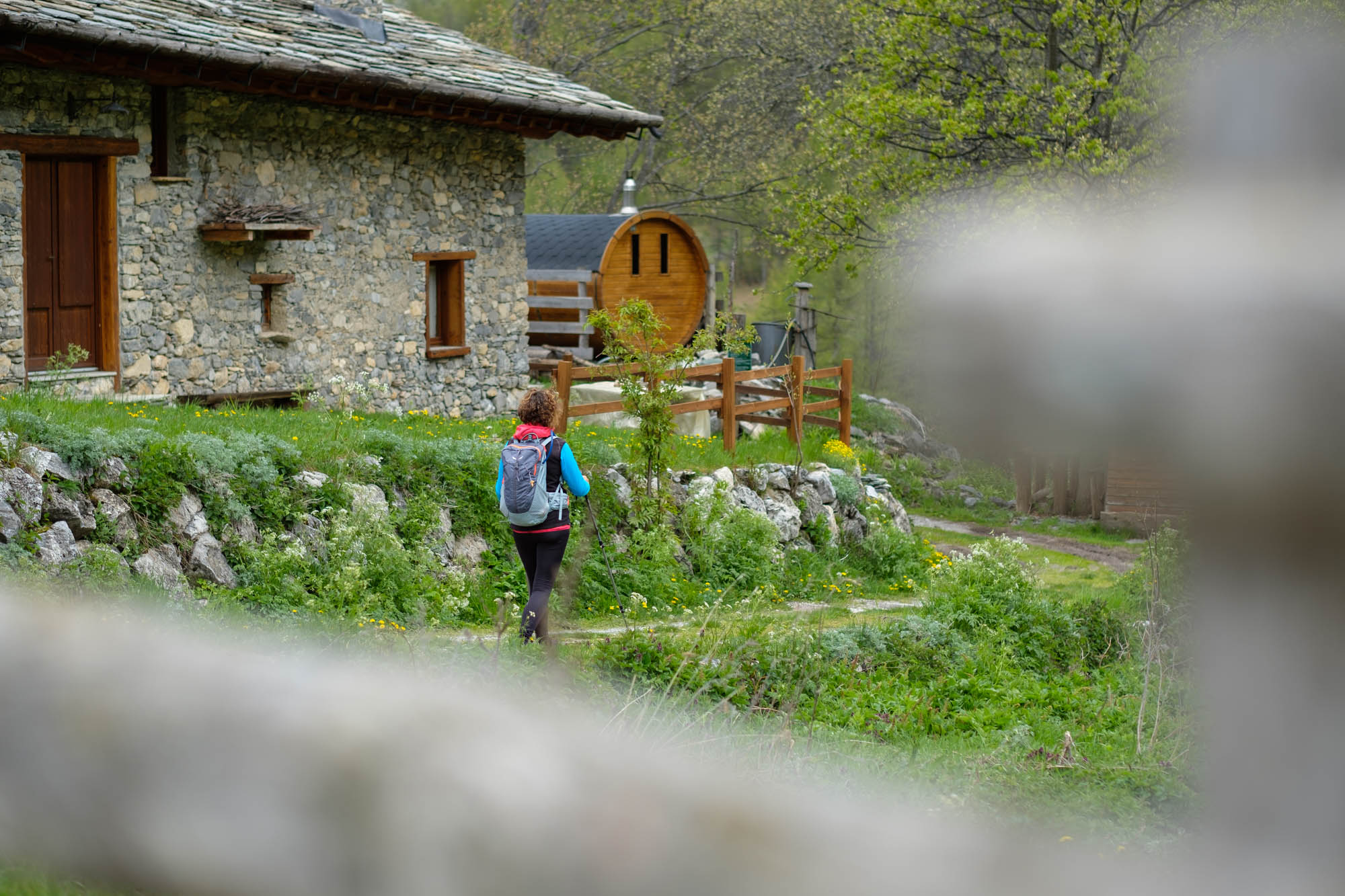
After a few hundred metres, past the small cemetery, leave the tarmac and turn right onto the mule track that leads through ash trees and various shrubs towards the Maira springs. A number of footbridges help overcome the marshy sections with ease.
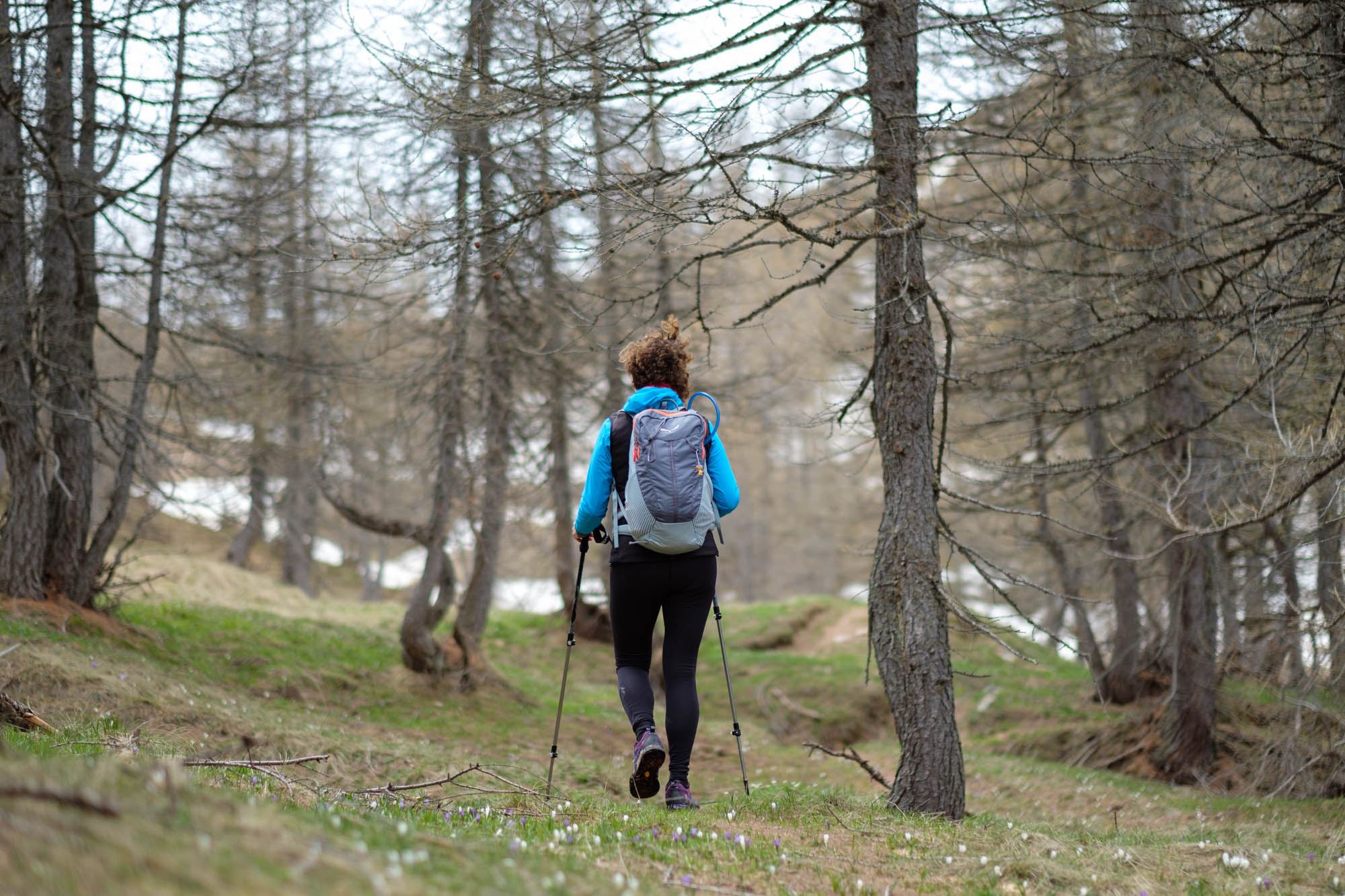
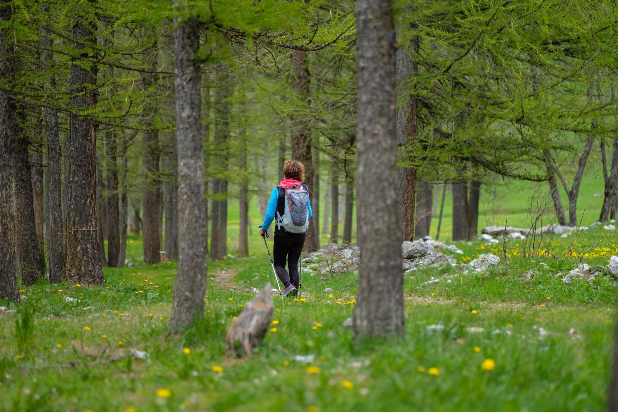
Leave the Roberto Cavallero path to the right and proceed to the left. Further on, the road widens out and leads into a peaceful larch forest above the Saretto artificial lake, which unfortunately remains almost completely hidden from view.
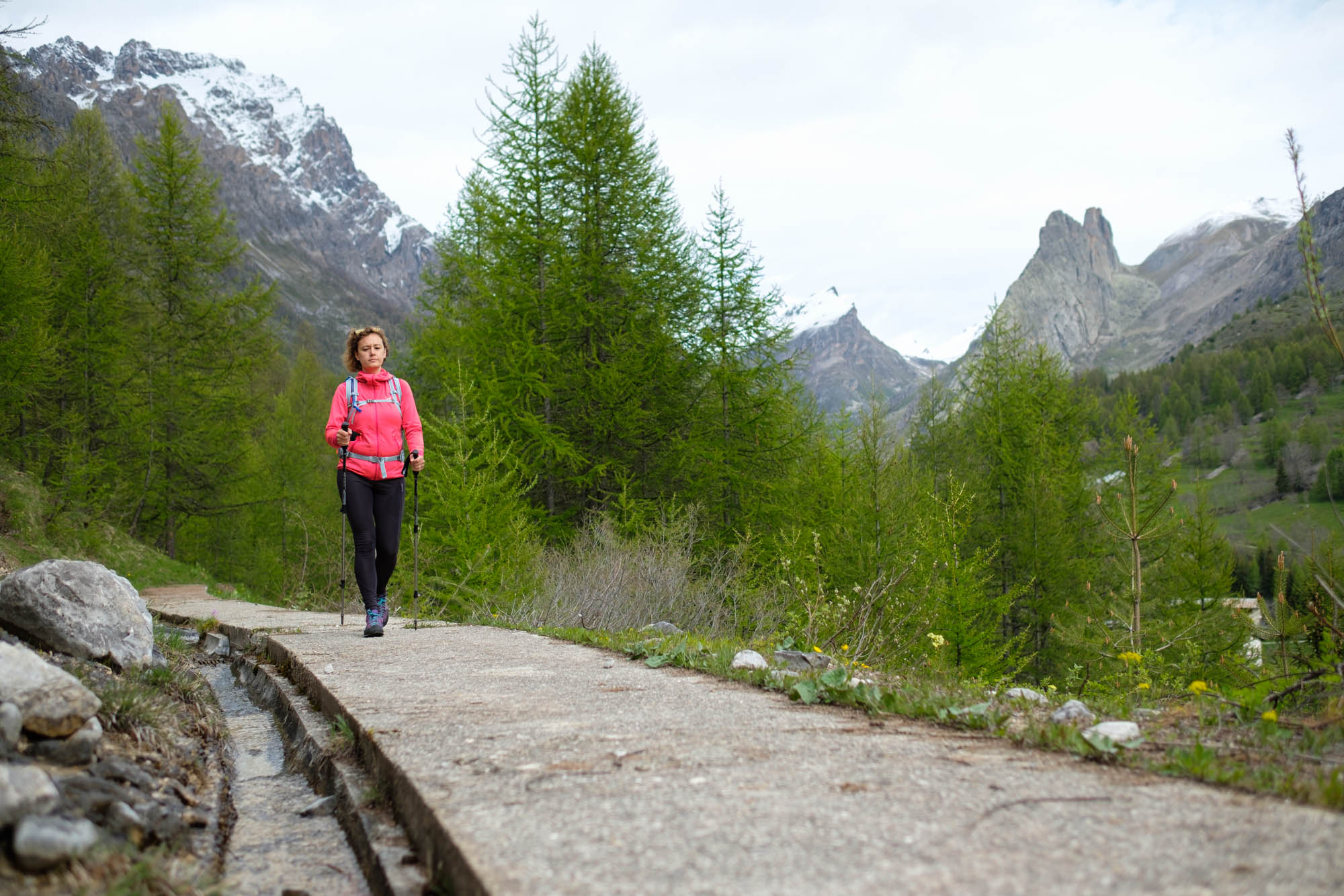
At a fork in the road, bear left and then almost immediately bear right, climbing up a stretch of concrete-covered pipeline that offers interesting views back towards the head of the valley. Once the pipeline finishes, return to the path. A little further on, turn left onto a section that quickly becomes a pipeline again and runs alongside two large water flows.
Join the tarmac road leading to the Maira springs. Follow it to the right, until you reach the springs after a wide bend. Cross the bridge, take the military road to the left towards the Grange Pausa, then leave it at the first bend and take the path to the left that climbs steeply through the larch forest.
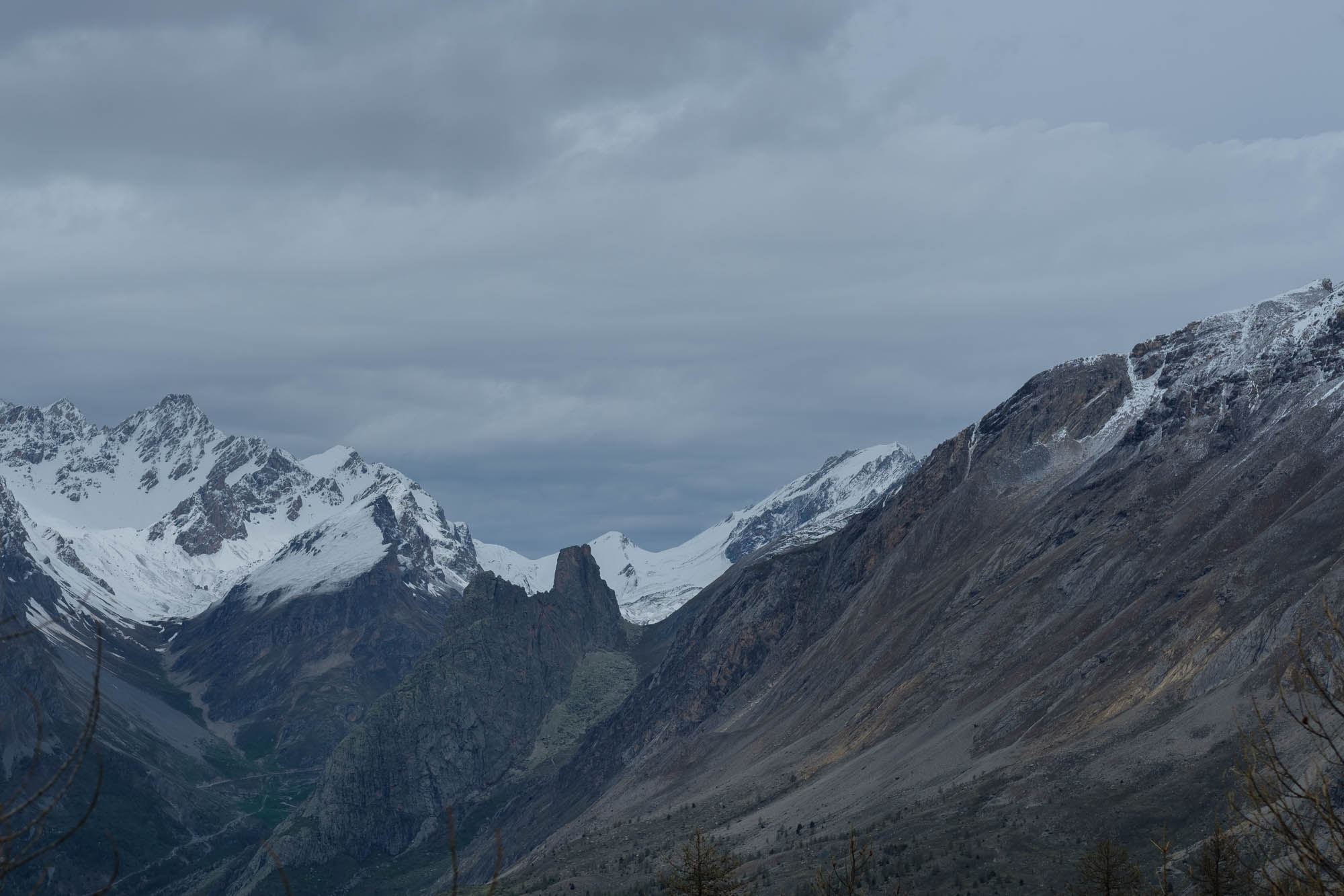
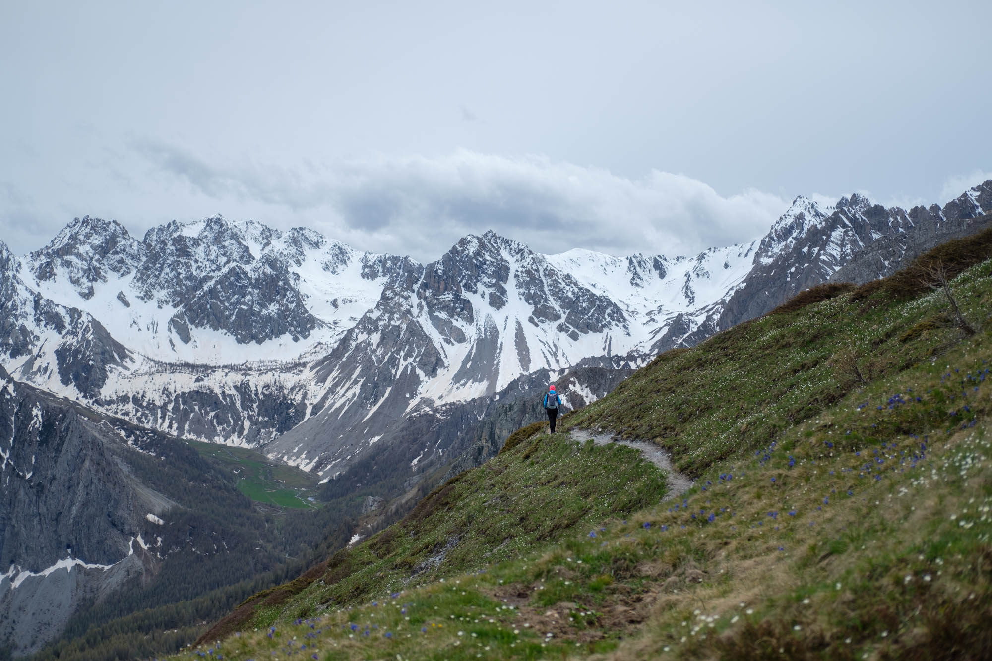
After a rather steep stretch, take a crossing to get around a ridge. At the end, disregard the path that goes down to Ponte Maira. Start walking uphill again, passing by small, shallow lakes. From time to time there are beautiful views back towards Chiappera and the Provence/Castello mountain range, which gradually becomes less prominent.
At the fork in the road, both branches lead to the same point: regardless of the yellow markings, it is better to follow the new left-hand route, which is a little longer but passes through an easier section.
Come out just above the Ciarbonet pass: the view changes completely and opens out towards the head of the Unerzio valley and the Bric Cassin, Cassorso and Boscasso mountains. It is worth making a detour (just under an hour round trip) to the left on the easy path that climbs to the top of the scenic Mount Estelletta.
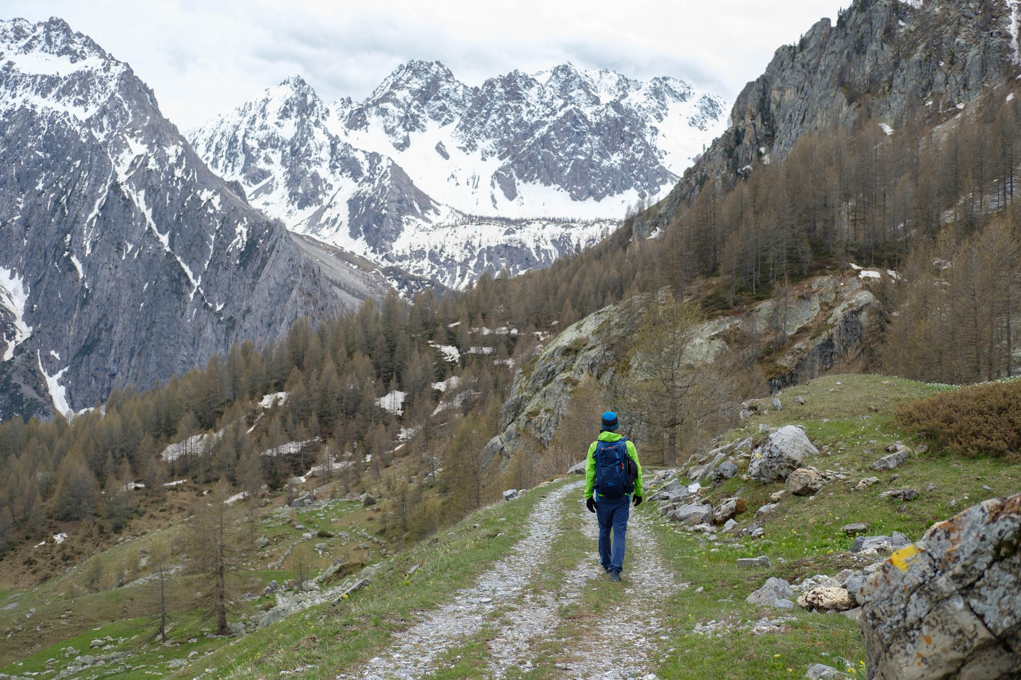
Once back at the Ciarbonet pass, follow the very long and gentle military road downhill through the pastures (there are possible shortcuts), passing several groups of huts that are now in ruins. Near a wide hairpin bend, the road suddenly opens out into the Unerzio valley, offering beautiful views of the hamlets of Pratorotondo and Viviere.
Pass the charming Mezzegliera grange to reach the tarmac road. Follow it downhill for 200 metres and leave it at the bend for the little path that goes downhill to the right among the larches. When you reach the huts in the beautiful Viviere hamlet, now a refuge, turn left at the fountain onto the mule track that slopes down to the left and quickly brings you to Pratorotondo (fountain).
After the houses, keep close to the stream. Without crossing it, turn left at a wooden cross along the path known as “la scurcio”, “shortcut” in Occitan. This is an ancient communication route that leads to Chialvetta and the osteria della Gardetta, disregarding all detours.
Text and photos by Cuneotrekking.com
Information
- Ascent: 770 m
- Descent: 800 m
- Distance: 15.5 km
- Starting altitude: 1,620 m
- Max altitude: 2,205 m
- Difficulty: E (Hiking)
On the trail
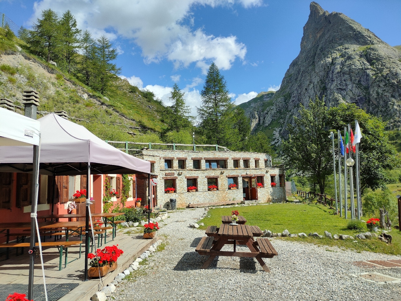
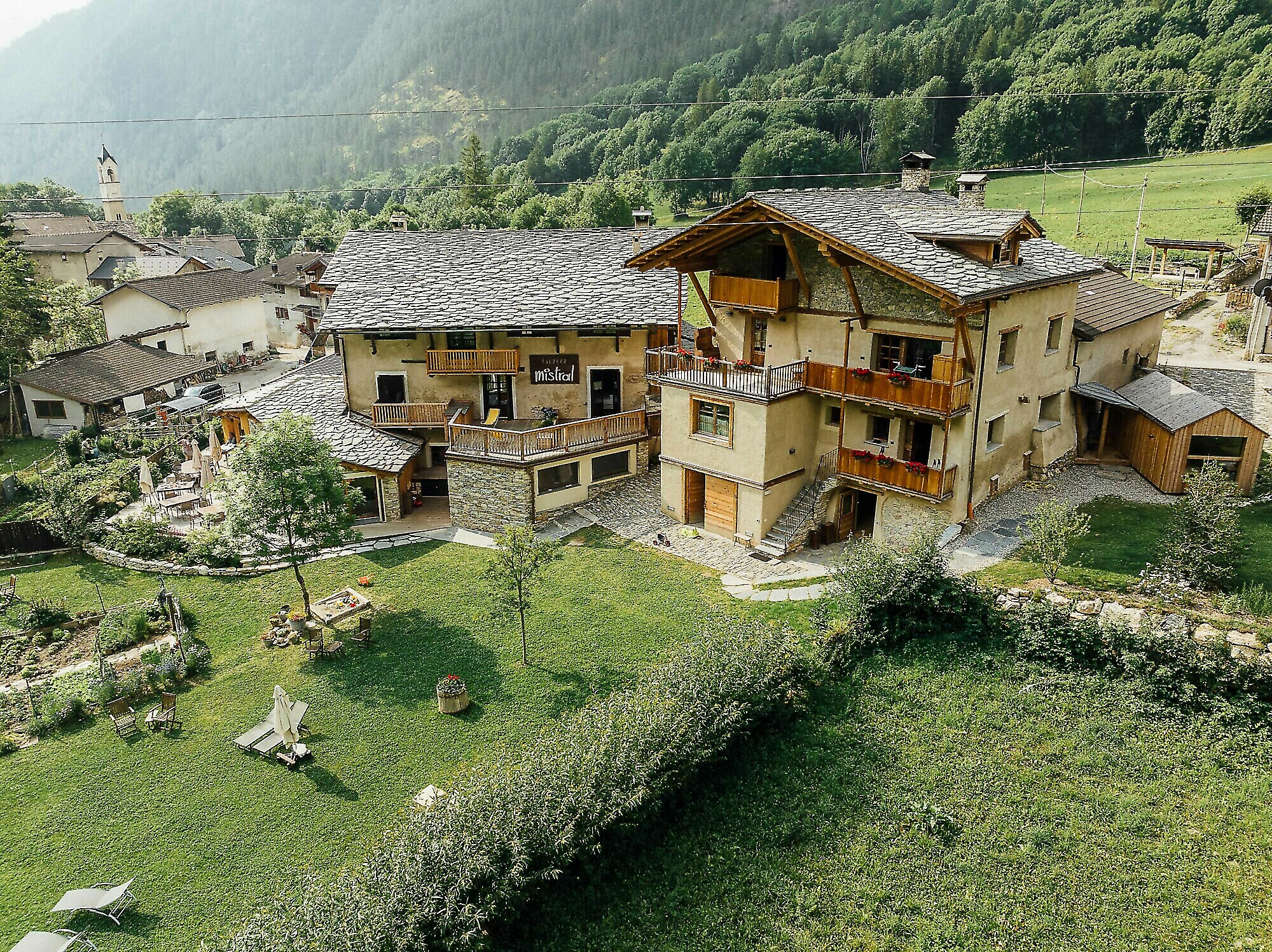
Here are the points of support of this stage
