Fourth stage
From Camoglieres to Stroppo

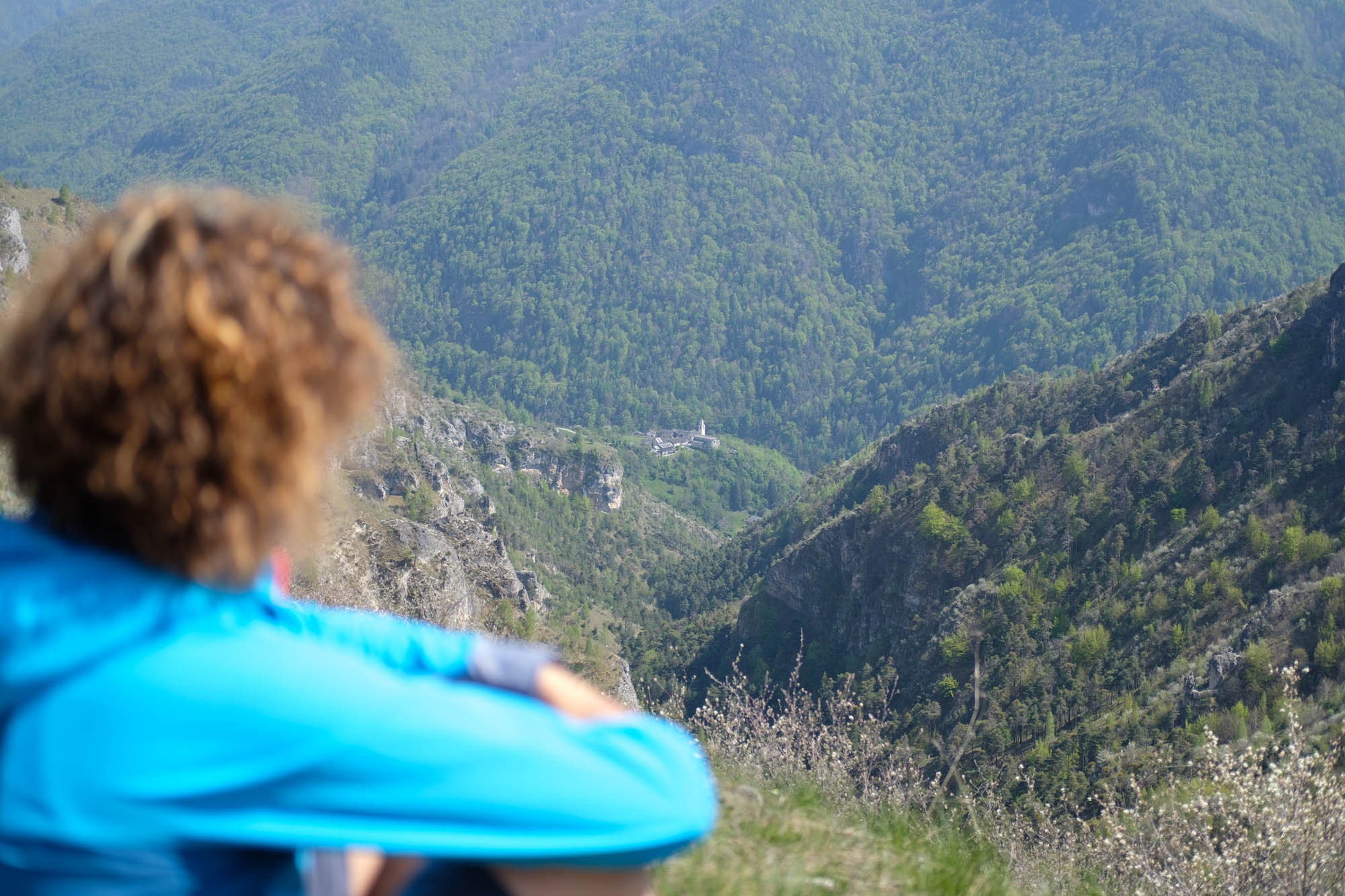
A stage that takes us to the heart of the Occitan paths. It starts from one of the most popular paths in the valley, and then continues in an extremely wild area that leads to the municipality of Stroppo, where some of the most interesting architectural examples of the entire Maira valley are kept: the medieval lazzareto of Caudano, the Romanesque chapel of San Peyre, the villages San Martino and Morinesio, the sanctuary of Santa Maria. All seasoned with fascinating views ranging from the villages perched to the three thousand that overlook them.
Go uphill from the Camoglieres hamlet, disregard the deviation towards the climbing route and turn left onto the Sentiero dei ciclamini, or Cyclamen path, in the opposite direction to the one in which it is commonly walked. This route is one of the most popular in the Cuneo valleys and owes its name to the cyclamens that can be admired during the flowering period in August and September.
Go uphill on the beautiful balcony path that runs alongside a climbing wall and offers striking views back over Camoglieres. After climbing about 100 metres, the path flattens out and passes a pillar situated in a very picturesque position. From the rocks overlooking the valley, Macra and Villar can be seen far below.
The balcony path continues between Scots pines and follows the recesses of the mountain, passing at the foot of the dizzying limestone wall of the Raveirola Peak. There are beautiful views of Langra below.
At a fork, descend to the left on Caricatori (fountain). Follow the tarmac access road to the hamlet downhill, pass the small stream to reach Langra, where you will leave the road and turn right.
After passing the church of Saints Joseph and Anthony, take the mule track that winds its way up between the houses and ruins, heading north-west through a copse of Scots pines in the Font Buient comba. The first part of the path is protected by stone walls and resembles a stream bed in places.
Further on, disregard the turnoff to the Gardiola peak. At the top of the comba, the mule track zigzags steeply upwards through a pine forest. Take a long, steep side crossing to the left that finishes on a scenic balcony, from which you can see Villar di Macra and the lower Maira Valley. The view stretches as far as the Tempesta peak to the south.
The path continues halfway up a flat slope at the dizzying head of the Valcalda comba, making a semicircle to the west and then winding up steeply again (not suitable in snowy conditions) to reach a second viewpoint.
The path continues downhill, passing a few hillsides and around small side creeks between rocky outcrops, sparse junipers, birch trees and scattered lavender bushes. After rounding a ridge, the sanctuary of Santa Maria di Morinesio and the sharp outline of Mount Chersogno appear to the west.
A little further down are two wooden crosses. After entering the town of Stroppo, the downhill path continues through a short pine forest from which Centenero and Caudano appear, located further down to the west. The path continues along the wide grassy Campogrosso clearing and descends near the recently restored little church of the Madonna della Mercede, with its mighty square bell tower.
You can wander among the houses of Centenero, set around a large fountain with a wash-house under the stark scenery of Rocca Pertus, while on the opposite side of the Maira Valley you can see Mount Buch and Costa Chiggia. At the bottom of the hamlet, a beautiful mule track leaves to the left, bypassing the normal road and descending into a hollow carved out by a stream. It leads directly to Caudano near the lazaretto, a medieval building with an imposing ribbed façade.
After the car park in the hamlet, continue for a few dozen metres on tarmac until you reach a fork. A little further uphill, a path initially runs almost level and above the road, winding its way through oak trees, a few pines, junipers and various shrubs, almost immediately reaching a votive pillar.
A little way on, leave the path that continues towards the church of San Peyre and turn right instead.
Alternatively, you can continue towards San Peyre, Cucchiales and then along the first section of the next stage to the hamlet of San Martino di Stroppo.
Climb up the rocky slopes that hold the sanctuary of Santa Maria di Morinesio much higher up.
The path rises and cuts across the steep slope. After passing a hill, the perched hamlet of San Martino, the Stroppo bell tower with the church of San Giovanni Battista and, further to the right, the Romanesque bell tower of San Peyre appear on the opposite side. Disregard the fork in the road towards Morinesio and continue on an almost level surface for a few hundred metres until reaching Ruata Valle.
Text and photos by Cuneotrekking.com
Information
- Ascent: 810 m
- Descent: 410 m
- Distance: 11.0 km
- Starting altitude: 975 m
- Max altitude: 1,400 m
- Difficulty: E (Hiking)
Notes
The official route of the Occitan paths involves descending to Villar di Macra along the second part of the Path of the Cyclamen. However, except on summer Sundays when it is to be avoided due to excessive attendance, the high variant proposed below, a few hundred meters longer, is much more interesting.
On the trail
Here are the points of support of this stage


