(54) Sentiero Gioele (Gioele Trail)

The path is dedicated to Gioele Dutto, a young mountaineer who in 2016 was hit by an avalanche while he was descending the difficult north face of Monviso. To remember him, his father Massimo, his family and friends gathered in the association “Freedom beyond the breach” named a beautiful path after him that runs along tormented ridges between bold rocky towers.
Access by car
From Dronero go up the entire Maira valley to the last village of Chiappera. Continue for a few hundred meters beyond the town. At the bridge, turn right following the initially asphalted road that climbs towards the slopes of the Rocca Provenzale. After a few hairpin bends the road becomes dirt and continues for a couple of kilometers until it passes a bridge. Continue leaving the car in an open space, making sure to stop before the ban.
Note
On the trail signs there is a yellow carabiner with Gioele’s name.
Description
Having neglected the dirt road that heads north, take a path (post) that heads east, keeping a short distance from the Maurin stream. Two hundred meters further on you can cross it thanks to a wooden walkway.
Leaving the Nicolino grange on the right, follow the path that winds towards the Rivero grange (2,082 m). Near them, turn right (south) up the steep ramp in the direction of Colle Greguri.
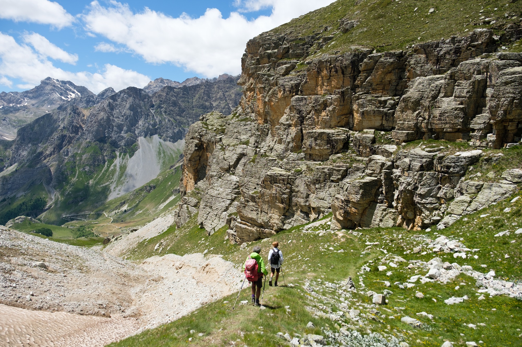
After gaining one hundred and fifty meters of altitude, you land on a shelf at the bottom of which the spectacular rocky blade of the Rocca Castello appears, while on the left the Eighier stands out, looking like an arrow reaching towards the sky.
The path continues gently and then rears up near the Greguri hill (2,317 m), where there is a bunker of the Vallo Alpino, the system of fortifications wanted by Mussolini to protect the Italian border in anticipation of the Second World War. From the opposite side there is a breathtaking view of the valley that slopes down towards Chiappera, dominated at the bottom by the Oronaye, and a spectacular view of the Provenzale cross, squeezed between the very sharp Figari ridge and the wall of the Torre Castello.
Ignoring the path that descends towards Chiappera, turn left onto the track that goes up the slopes of Mount Eighier. Once you reach a former barracks (2,477 m), ignore the deviation towards the nearby peak to follow the path that continues to climb in a north-east direction arriving near the pass called the Colletta (2,556 m).
Continuing uphill on the path that cuts across the grassy slope, leave the deep grassy depression of the Funsa Lunga at the bottom right, and with a very long traverse through a multitude of flowers reach the Rui hill (2,709 m).
Having abandoned the path that descends into the Fissela valley, immediately to the left of the hill, face the tormented coast of the same name, leaving behind the soaring peak of Mount Cervet. White/red trail signs and cairns clearly indicate the route.
The climb on gravel leads to overcoming some easy bumps, with sublime views backwards over the Fissela valley and the peaks that surround it. Moving forward, towards an altitude of 2,900 metres, the most challenging but also most interesting section of the route begins (I steps). Going slightly downhill, go down some rocky steps, following the track further ahead that descends on the side of the Fissela valley to go around a large tower.
With a final turn to the left, go up again to its base and then, continuing along the edge of the ridge, pass in sequence other rocky sections that extend up to the top of Mount Freide (2,951 m), the highest point of the itinerary, made up of crushed stone crumbly.
This pulpit offers a priceless view of the Alpine arc of the upper Maira valley: just to mention the main peaks you can see the Faraut, Monviso, Albrage and Maniglia mountains to the north, Aiguille and Brec de Chambeyron, Tête de l’Homme and Tête de la Frema to the west and Oronaye and Cervet to the south.
After a well-deserved break, begin the descent along the short north ridge that leads to the Lauset pass (2,889 m), well defended by the Opera 33 bunker and what remains of ancient barracks.
Continue on the easy stony traverse towards the north which leads slightly downhill to the nearby Val Fissela hill (2,872 m).
From the hill begins a long and very steep descent to the left into the Marin valley, nestled between the rocky western slopes of the Freide and Albrage mountains, first on grassy terrain, then on stony ground and finally on a path delimited by stone kerbs, all excellently marked by wooden posts and white/red notches.
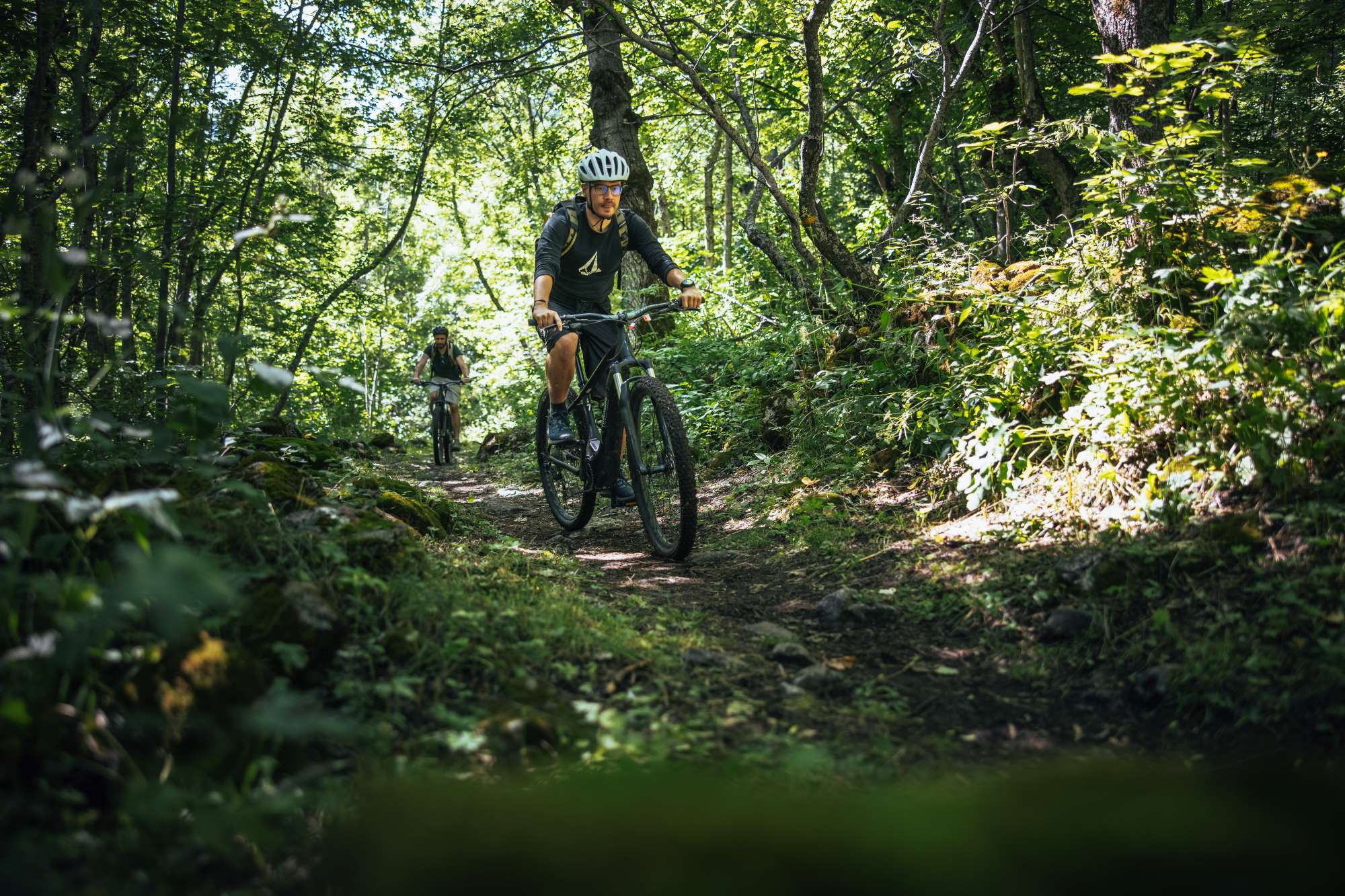
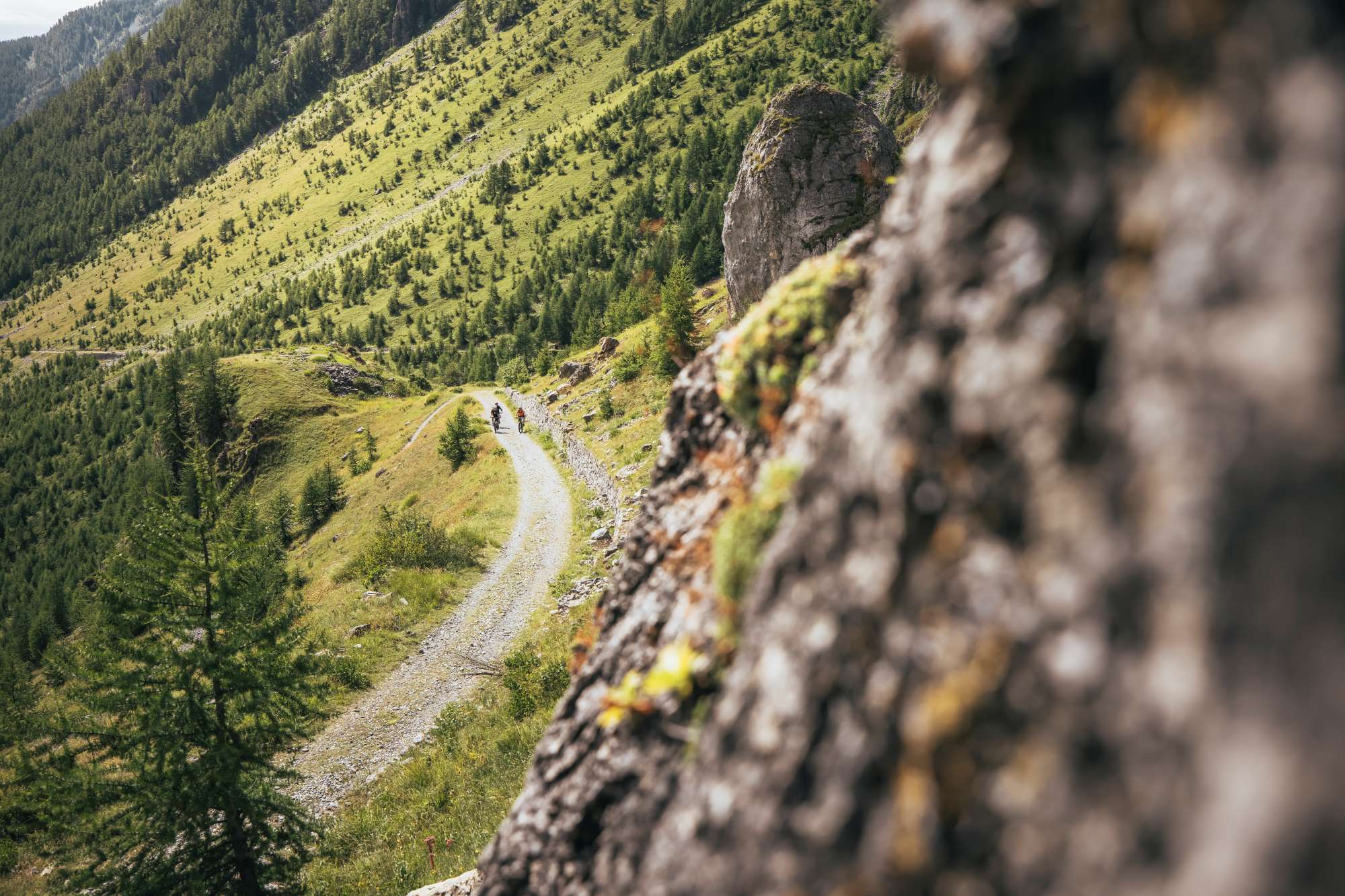
Having joined the path of the Autaret valley, turn left and a little further downstream pass the Turrè grange. Once you reach a dirt road, continue up to the Rabet grange, where you turn left returning to the Collet grange where this spectacular and little-known ring ends.
Text: Elio Dutto and Valerio Dutto of Cuneotrekking.com
Photo: Elio Dutto of Cuneotrekking.com
Information
- Ascent: 1,070 m
- Distance: 10.8 km
- Region: Acceglio
- Season: Summer
- Difficulty: Hard
Mountain sports are potentially dangerous activities and must be undertaken with the right equipment and preparation. We invite you to consult the weather and avalanche bulletin before embarking on an excursion and/or contact a guide for assistance. The Valle Maira Tourist Consortium declines any responsibility in relation to the advice and itineraries shown here, which must be evaluated personally according to the weather conditions and snow cover.


