Monte Soubeyran

SOUBEYRAN 2701MT
Nestled along the border with Valle Ubayette, Soubeyran is a complete and varied route, perfect for immersing oneself in the upper Maira Valley and experiencing the beauty of these
stunning surroundings.
This described loop is merely one of the myriad options available in this little slice of the upper valley.
With a map in hand and a dash of creativity, you can craft a variety of routes, from the simplest to more demanding steep descents.
Start:1539m Saretto 44° 28’ 42,72’’ N 6° 56’ 11,15’’ E
Elevation gain: 1230m
Descent difficulty: 2.3-E1
Ascent time: 3h30
Exposure: All
Period: December-April
Mountaineering difficulty: F
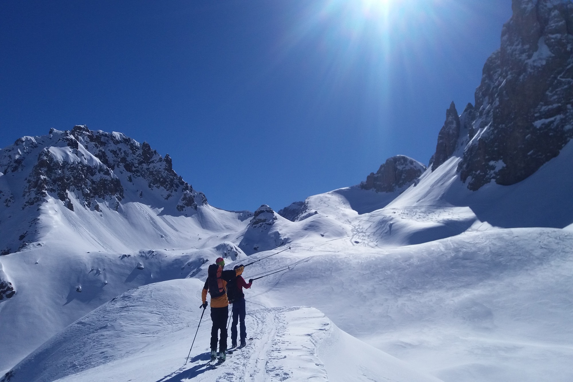
Ascent: Starting from the parking area just past the Saretto hamlet, near a quaint lake, cross the bridge and find a right-hand trail (marked by a wooden sign). This path gently climbs west through a larch forest, leading into the Vallonasso Sautron.
Ascend this valley until you meet the old military road at 1900 metres, which helps navigate a rocky stretch, opening up to the expansive upper basin near Grange Pausa at 2056 metres.
Skirting close to the slopes of Punta Bessie and mindful of the terrain above, bypass the amphitheatre that houses the Danilo Sartore Bivouac on your right.
Ascend the steep slope to reach the upper plateau at 2322 metres, near the Croce di Caraglio at 2342 metres. Over a small dip, the path continues onto a second plateau at 2364 metres.
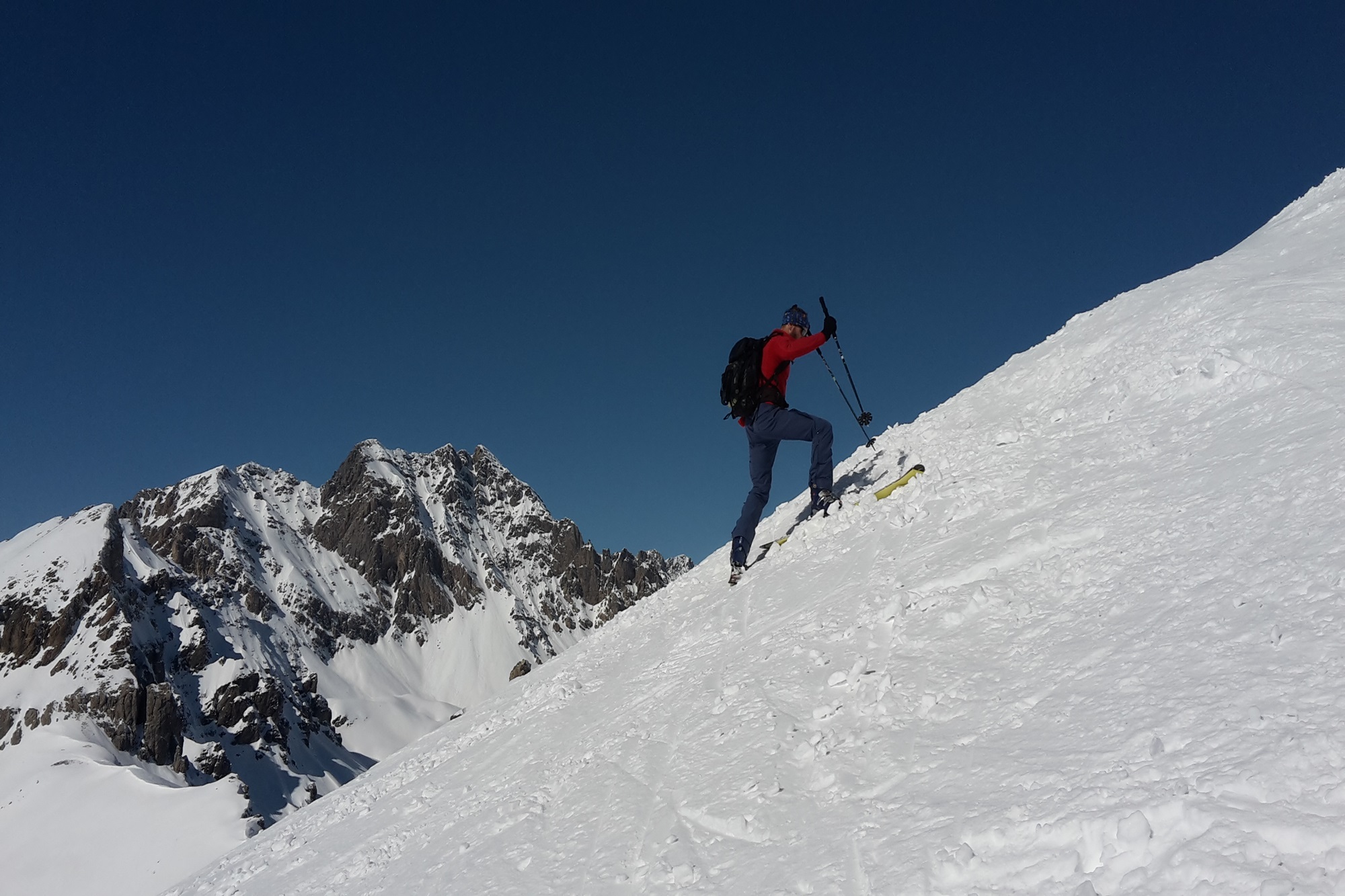
Following the eastern slopes of Monte Soubeyran, you’ll arrive at the Cavalla Pass at 2539 metres, tackling a steep slope on the right where an old military structure stands. The path from here is straightforward, and depending on the snow conditions, you can either head directly up the triangular slope to the summit or take a longer traverse to the southern ridge, which leads gently to the peak.
Descent: On the way back to the Cavalla Pass, veer right from the ascent route towards the Fea Pass, nestled between Punta le Teste and Rocciasetto. After negotiating an initial slope to a hollow, the descent continues down a broad but steep slope into the expansive basin that cradles Lago Visaisa.
Avoiding Grange Visaisa at 1990 metres, traverse under the Punta le Teste slopes, always carefully assessing the steep terrain above. This route leads straight to the small pass north of Lago Visaisa at 1900 metres.
Follow a gentle valley through the sparse larch forest to the old military road.
Here, you can choose a more direct descent back to Saretto or follow the road along a slight ridge to return to the start.
Information
- Duration: 3h 30m
- Region: Acceglio
- Season: Winter
- Difficulty: Medium Difficulty
Mountain sports are potentially dangerous activities and must be undertaken with the right equipment and preparation. We invite you to consult the weather and avalanche bulletin before embarking on an excursion and/or contact a guide for assistance. The Valle Maira Tourist Consortium declines any responsibility in relation to the advice and itineraries shown here, which must be evaluated personally according to the weather conditions and snow cover.
