(2) San Costanzo MTB tour: between Pedancola sul Maira, the devil’s bridge and San Costanzo al Monte

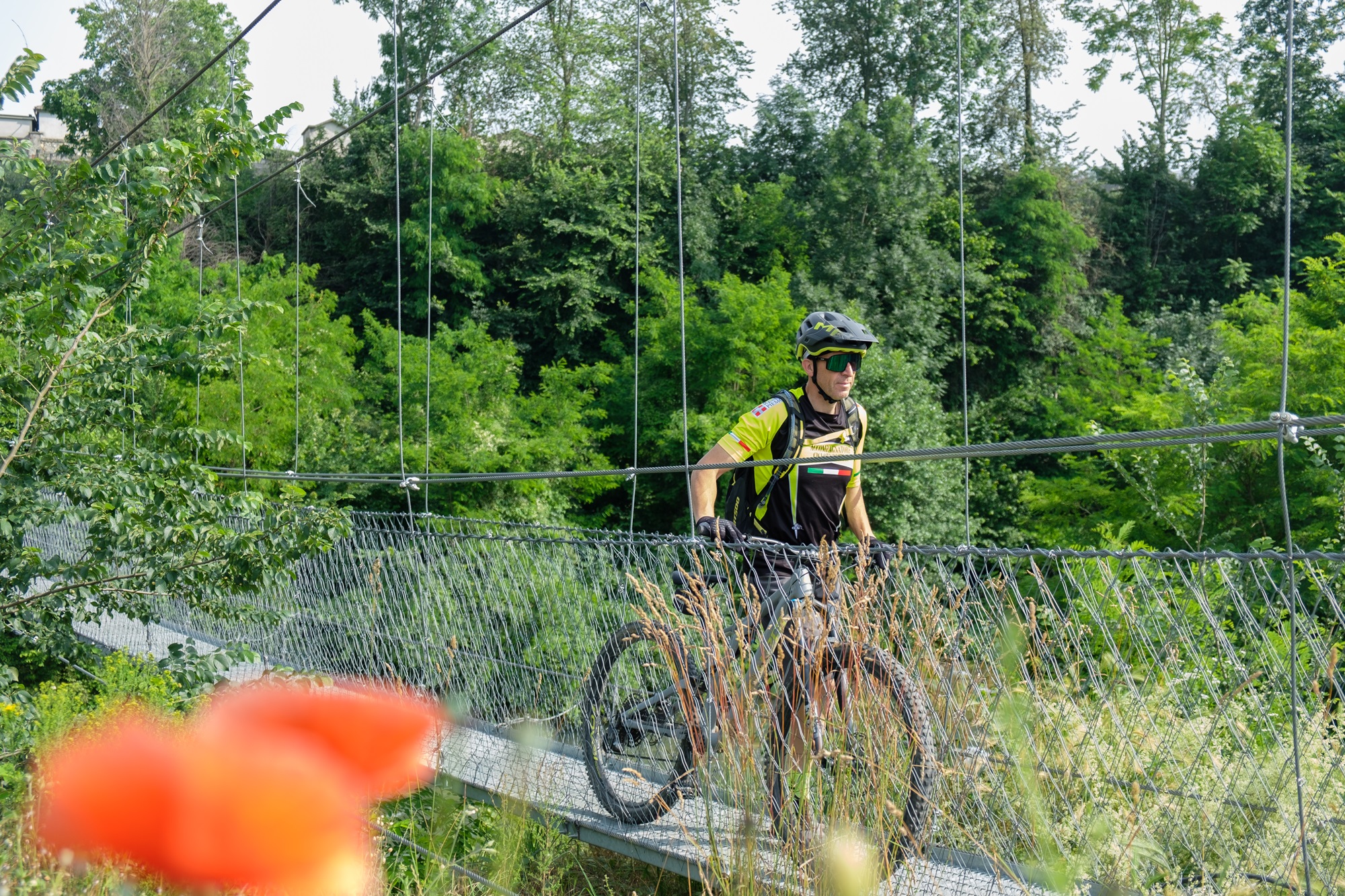
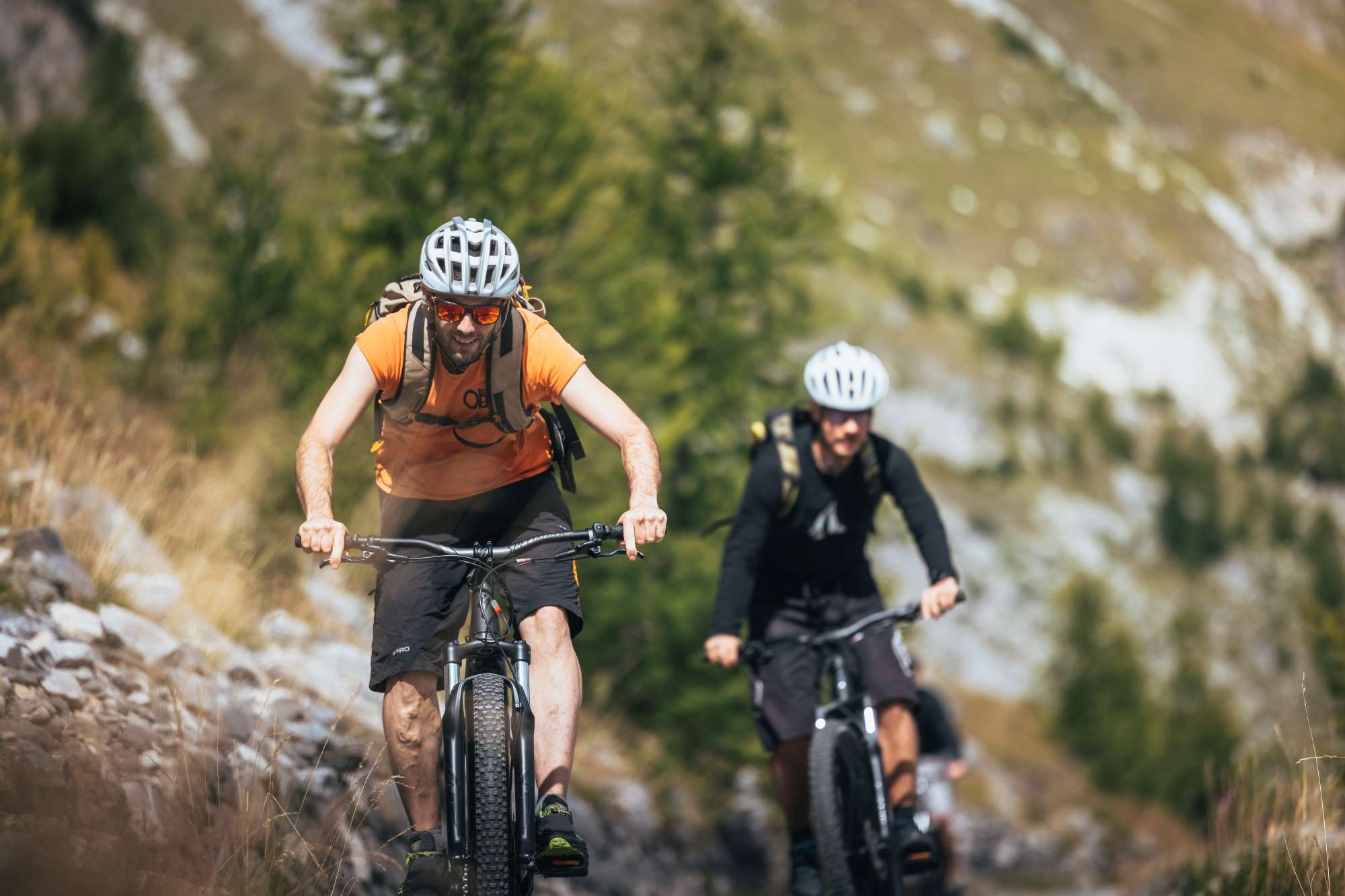
A MTB itinerary that takes place mainly on dirt roads and short single tracks on the hills behind Villar San Costanzo. The return takes place by crossing the characteristic devil’s bridge of Dronero and then following the long cycle path that runs alongside the Maira stream, crossing it again on the pedancola, a suspended metal walkway seventy meters long.
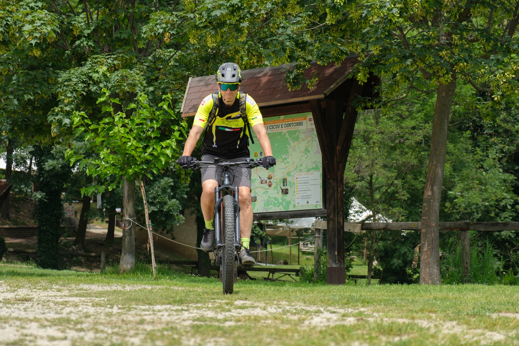
Reach Villar San Costanzo. Follow the signs for the Ciciu del Villar nature reserve and leave the car in the large car park in front.
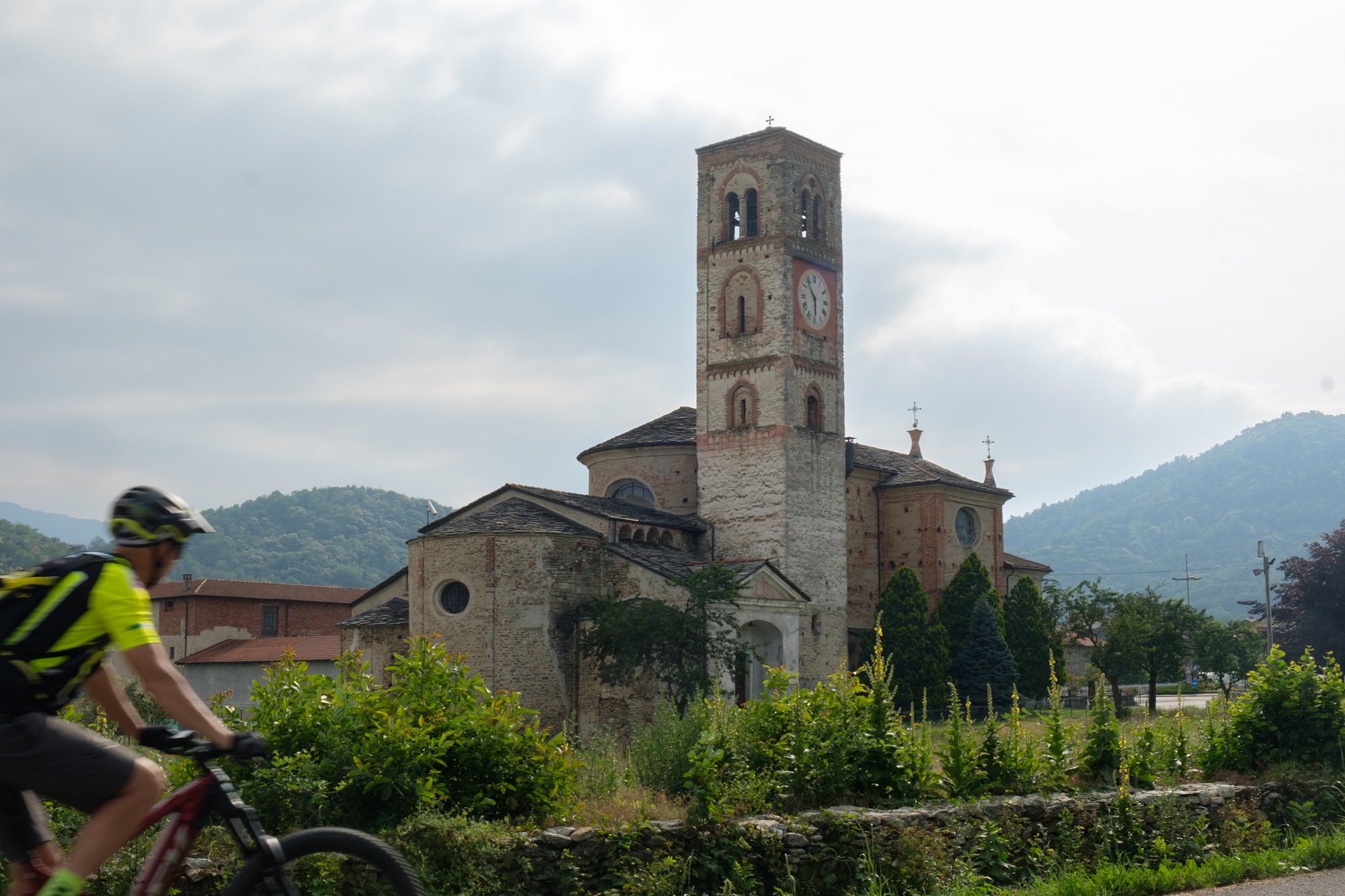
Go down via Ciciu, the access road to the nature reserve of the same name. After eight hundred metres, after passing a canal, turn left. Once you reach the roundabout of the parish church of San Pietro in Vincoli, an ancient Benedictine abbey, turn left again, pass in front of the green area and take via Pramallè, heading north. Follow it for eight hundred meters of gentle descent, continuing straight at the crossroads.
Ignoring some secondary branches that lead to groups of houses, we begin to gain altitude. Further on, when the surface becomes dirt, the road known as stra di mort, “road of the dead”, so called because it was once used to bring the deceased down to the valley, begins. After a curve you pass near a votive pillar surrounded by unexpected prickly pears which, thanks to the mild climate and excellent exposure to the sun, find a favorable habitat in this area.
With a long meander, alternating sustained stretches with recovery ones, you arrive at the asphalt road that goes from Morra del Villar to Rivoira. Follow it slightly uphill to the left for a hundred metres, then at a crossroads turn right towards Rivoira Inferiore (817m). With a slightly flat stretch you reach the houses of the village beyond which the surface becomes a dirt road.
After two hundred meters at a crossroads, keep left and continue into a mixed forest with a prevalence of chestnut trees. A further kilometer beyond (post) reverse direction heading left. After passing an uphill ramp, proceed downhill to the houses of Rivoira Superiore (932 m).
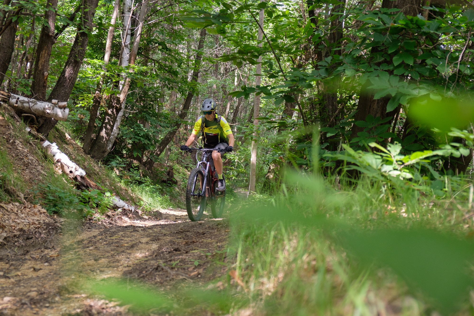
Two hundred meters after the houses, turn onto a steep forest track that branches off to the right. Around 950m above sea level, keep right and proceed along the dirt road which, much higher up, joins the Strada dei Cannoni, an ancient and very long military road at high altitude which leads from the Colletta di Rossana to the Colle della Bicocca.
Turn left, abandoning it almost immediately for a path which with a sharp rise, which can only be traveled by pushing or by E-MTB, leads to the paragliding take-off point, an exceptional panoramic point overlooking the plain.
After a well-deserved break, turn right onto the access road, closed at the base by a barrier, after which you descend onto the Strada dei Cannons near the anonymous Liretta hill (1,075 m), surrounded by vegetation.
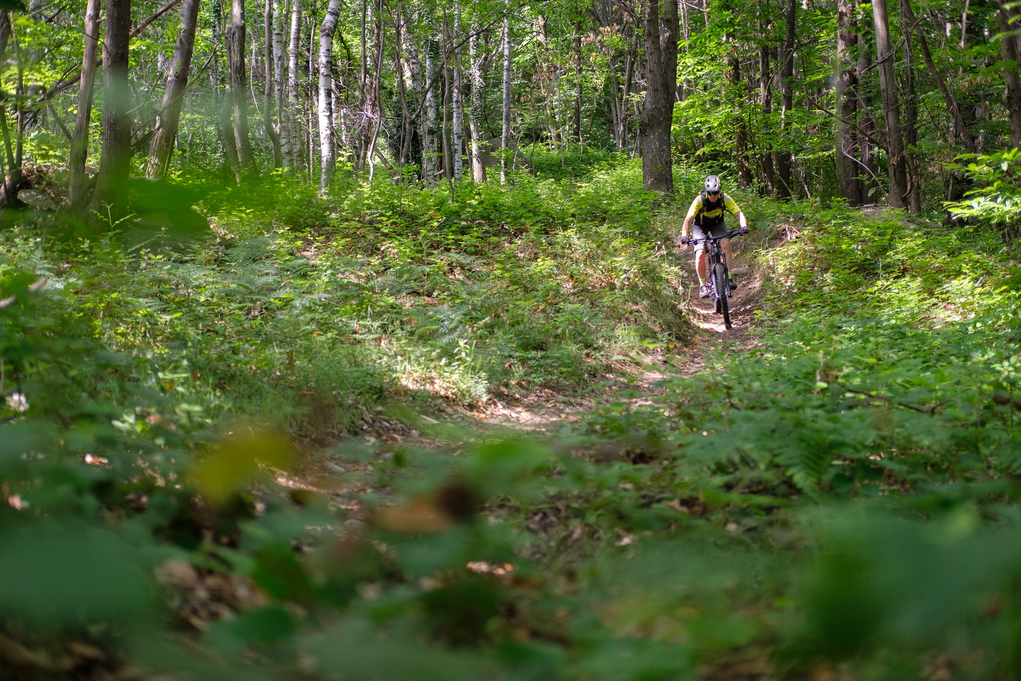
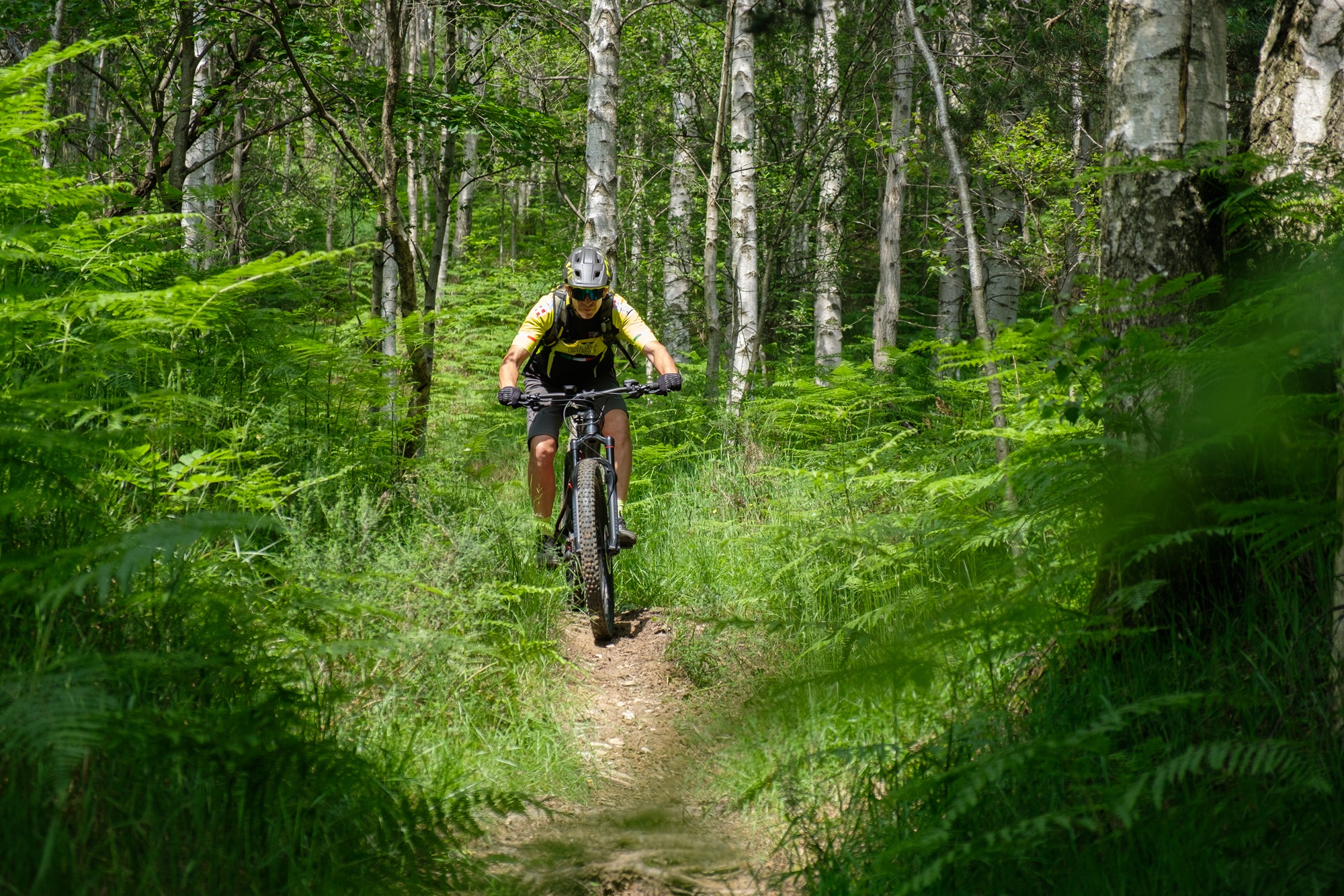
Ignoring a dirt road that goes down to the left (which can be used by those who want to do a simpler variant), continue to the right for four hundred meters uphill slightly. After passing a milestone (highest point of the itinerary), turn left onto a fun single track that descends into a birch forest and joins a wide dirt road. This section requires the ability to ride the bike on tight bends, overhanging roots and stones.
Once you reach a dirt road, follow it downhill past the Belliardi village. At the third hairpin bend after the houses, take another fun single track on the right which, like the previous one, requires good driving skills.
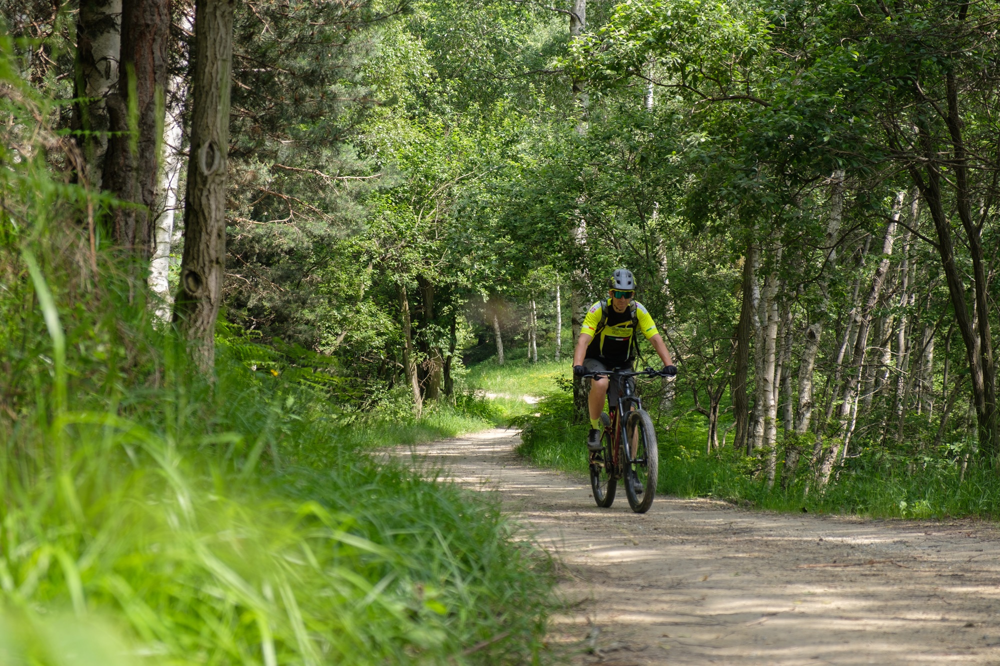
A little further down you join a dirt road arriving from the Foresti village: here the first part of the Occitan Routes develops, a long itinerary of several stages that climbs from this side of the Maira valley to return from the other.
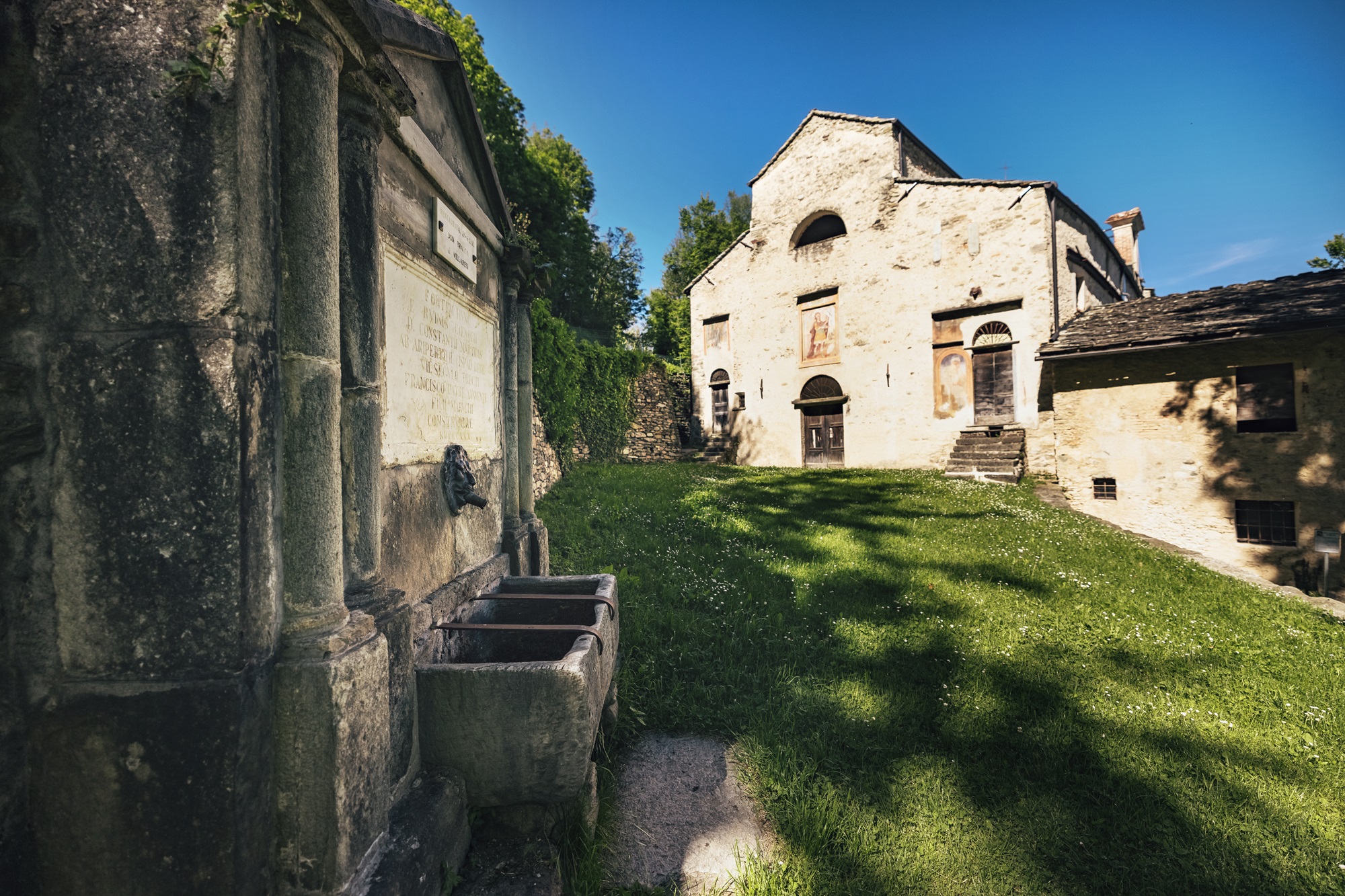
Ignoring any deviations, follow it to the right, cutting the slope through the woods. With slight ups and downs after a couple of kilometers you arrive at the splendid abbey of San Costanzo al Monte, composed of the church superimposed on a crypt of exceptional size, of very ancient origins and remodeled several times over the centuries.
Continue ignoring a dirt road that goes up to the right and follow the small road with a concrete surface that goes down. After passing a clearing, the surface becomes asphalted and you soon reach the scruffy sanctuary of Santa Maria Delibera (730 m), whose origins date back to the 11th century but which has been remodeled several times over the centuries.
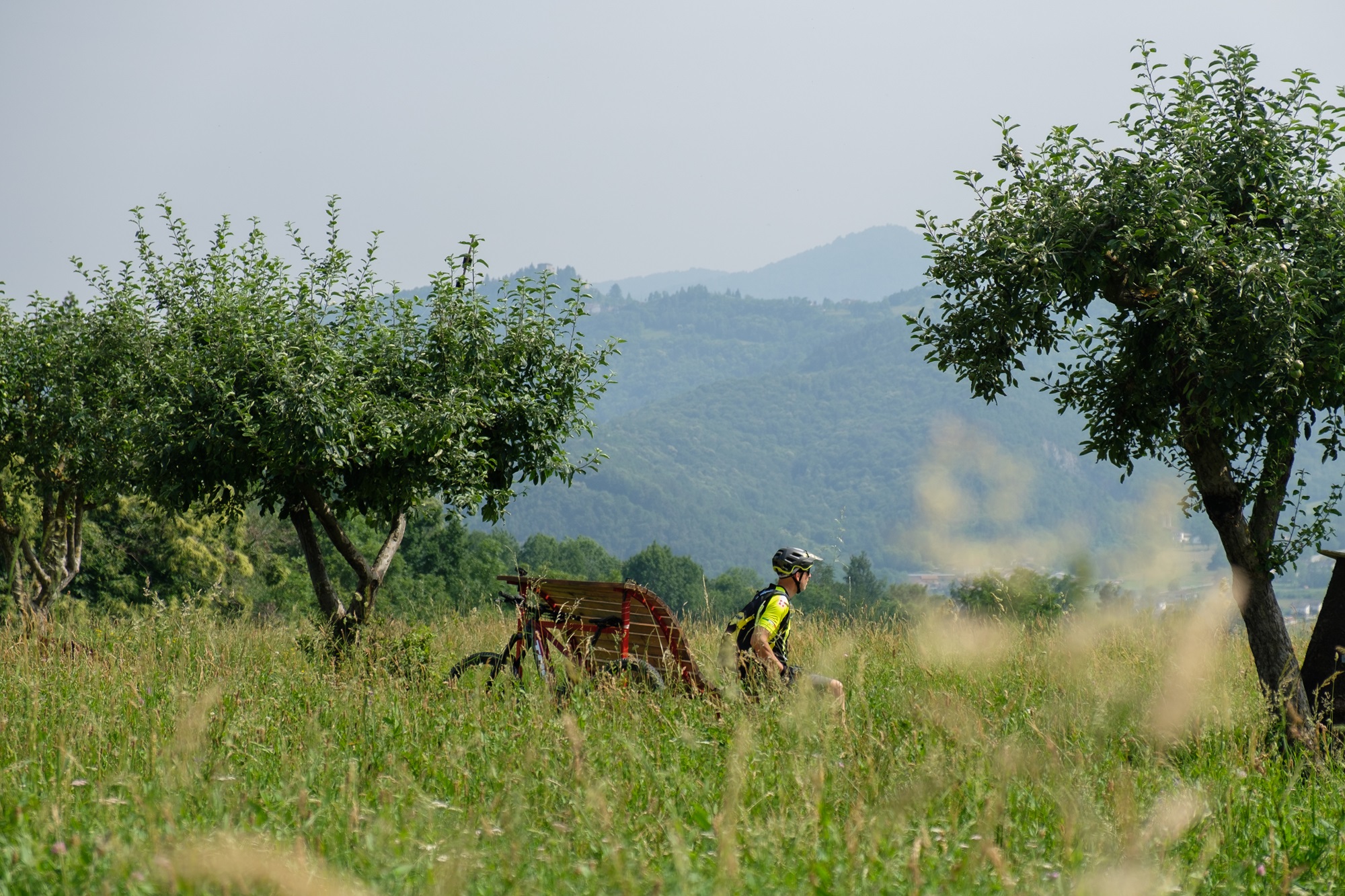
Continue for a few dozen meters on asphalt and at the bend turn onto a nice dirt road that branches off to the left. Some particular wooden benches can become an excellent spot for a break.
After three hundred meters, keep the second road on the right and after a pleasant stretch merge onto the asphalted Via Comba Pennini and follow it downhill to the right. Once you reach Dronero, cross the provincial road with a little caution, taking the bridge that enters the town on the opposite side.
Immediately after, turn left crossing a car park and then a green area at the foot of what were the ancient walls that surrounded the city, which have now become an integral part of the buildings.
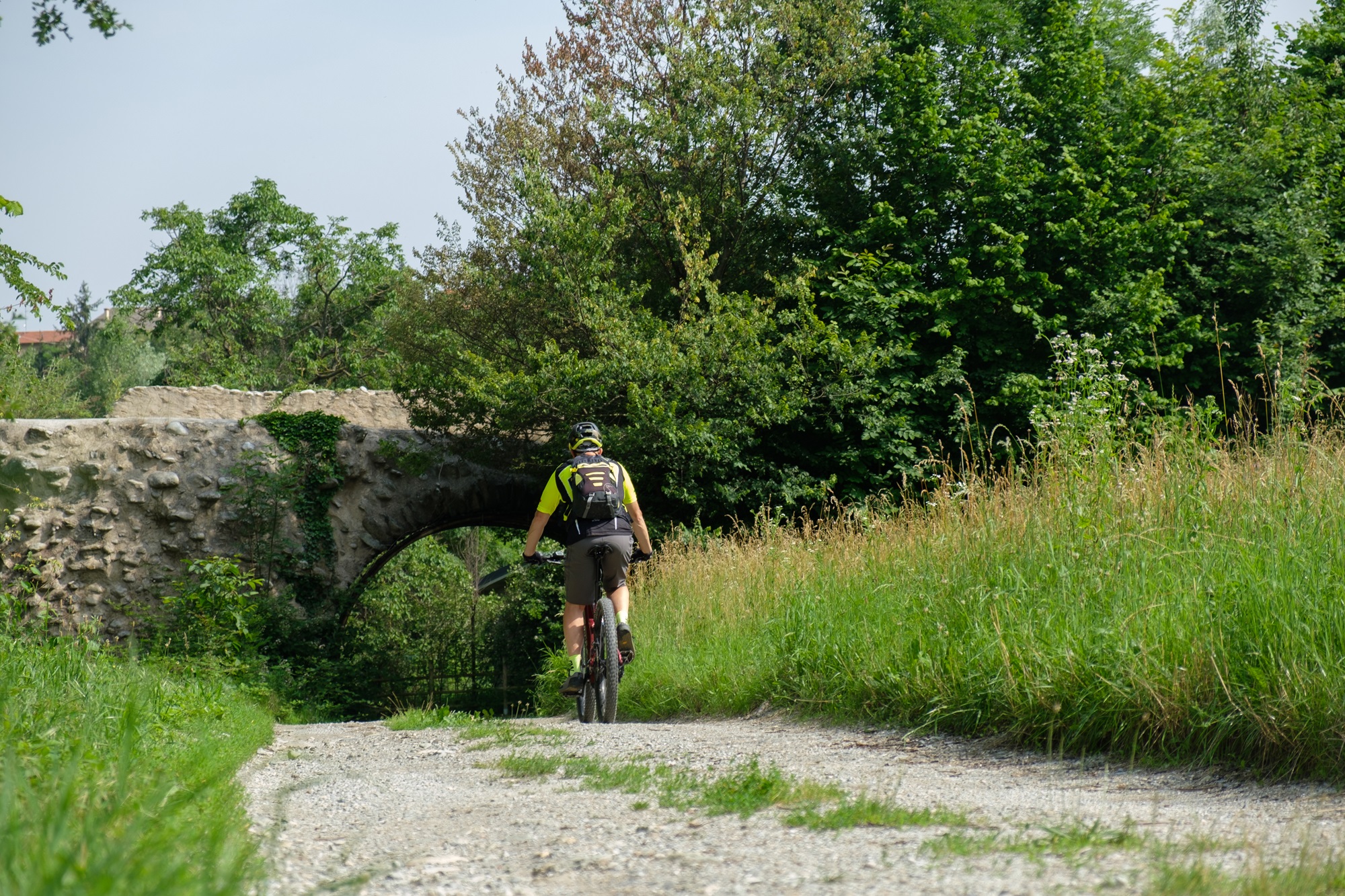
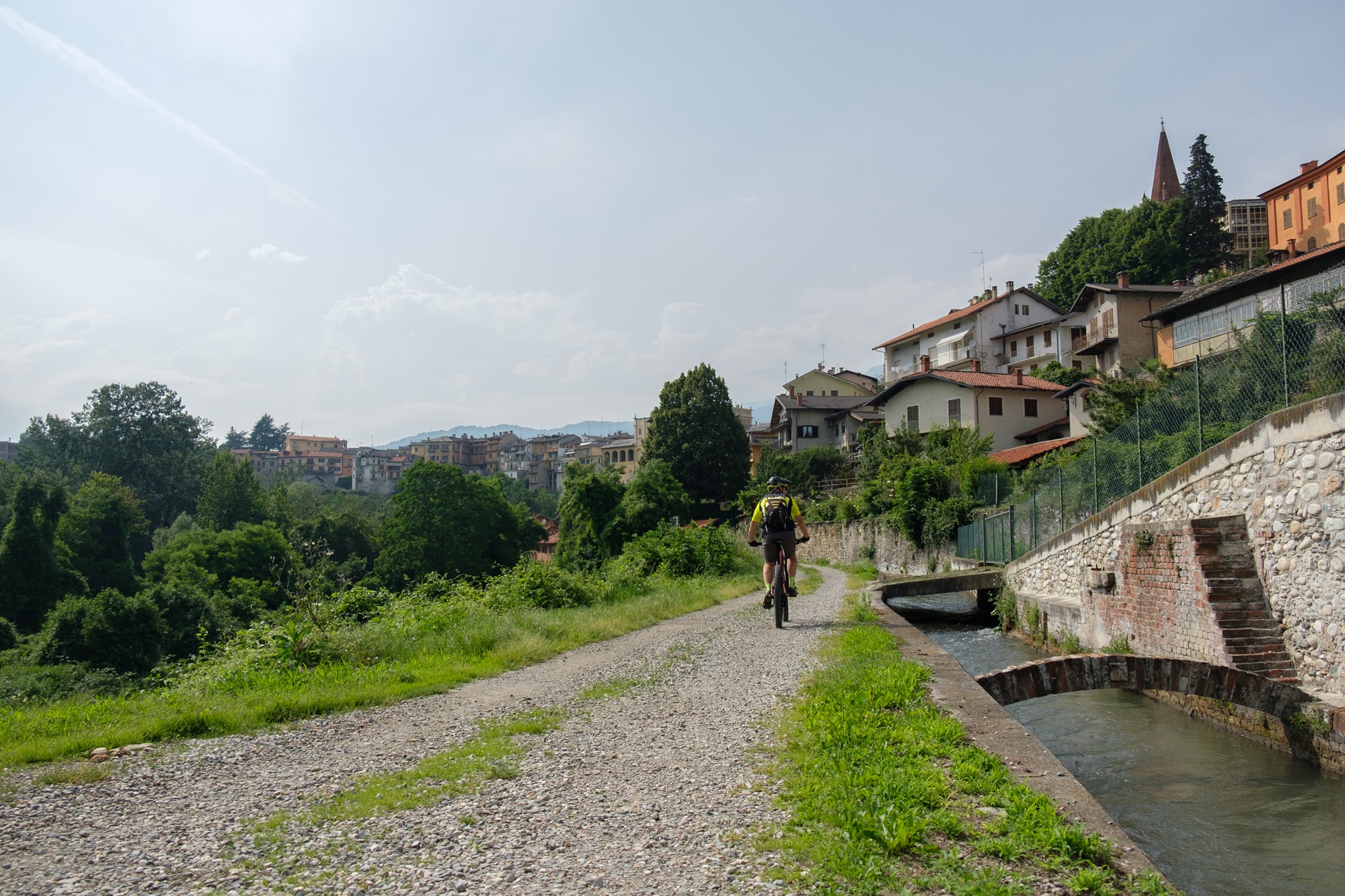
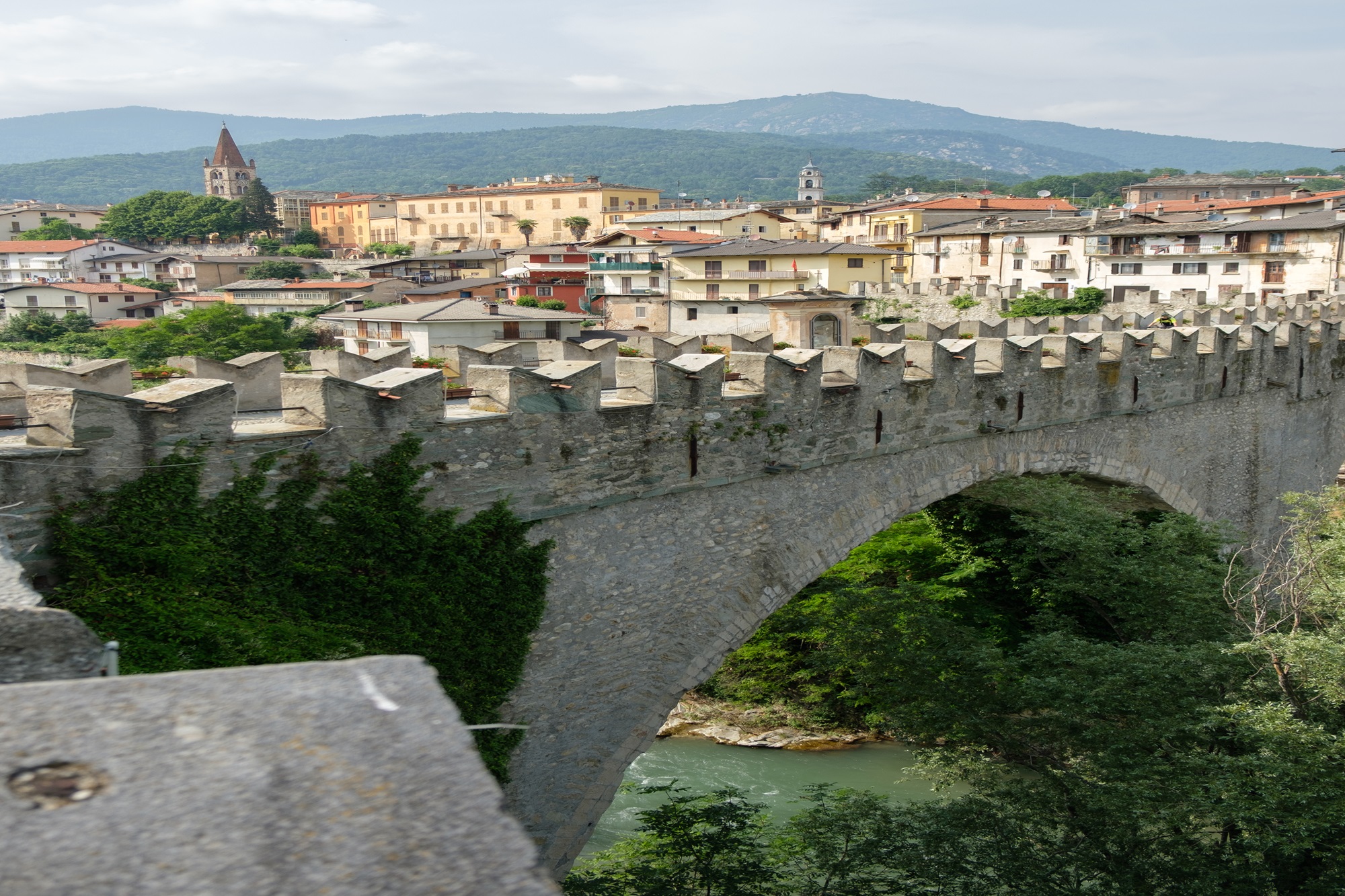
Continue on the road which is initially asphalted and then dirt which descends and goes around the town from below. Pass under an ancient stone arch alongside the purifier and then pass under the new bridge, also called Giolitti’s bridge, and the devil’s bridge.
Go alongside a canal to cross it two hundred meters further and, reversing direction, go up a steep asphalt ramp. Turning right you reach the devil’s bridge, symbol of Dronero: legend has it that it was built by the devil himself.
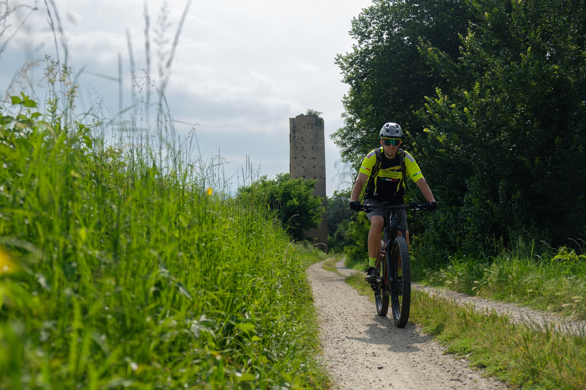
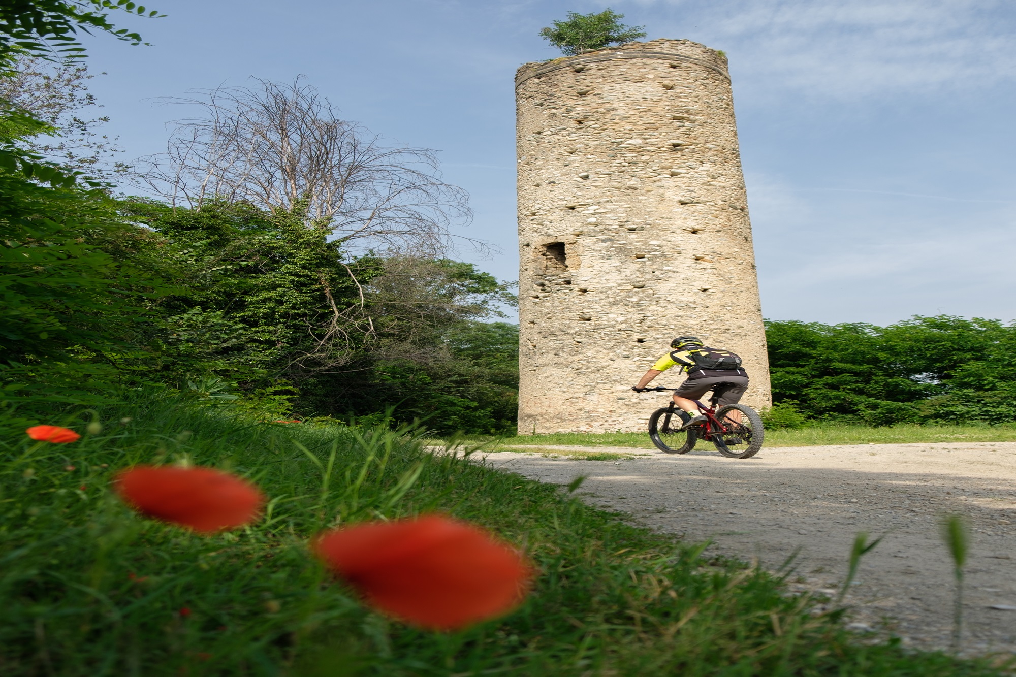
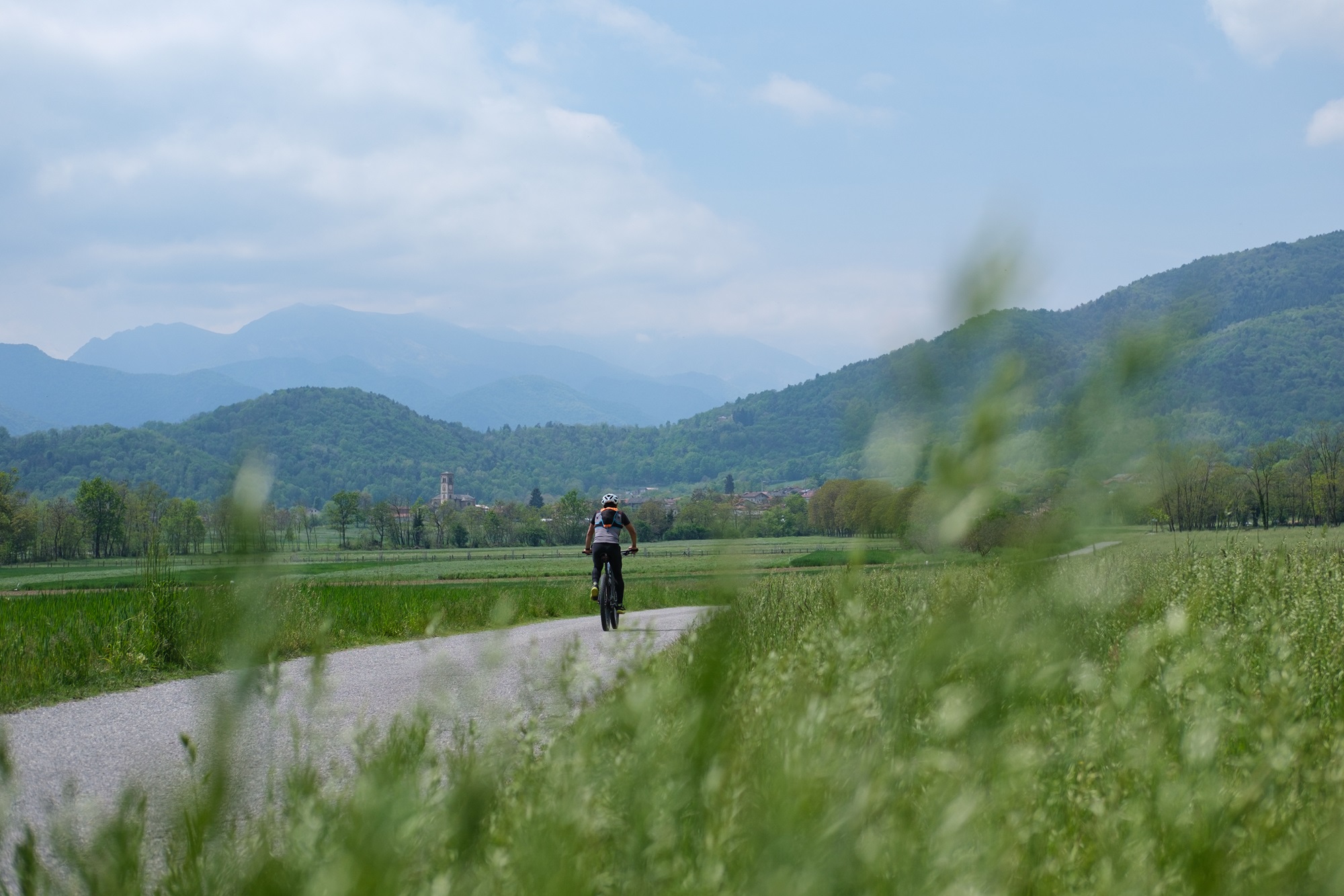
After passing Piazza Cariolo and the church of Santa Brigida, turn left into Via Fucine. Continuing straight (east), follow the cycle path which alternates dirt sections, grassy sections, asphalted sections and in five kilometers leads to the hamlet of Monastero. More or less towards the middle you pass near the interesting Torrazza, an ancient cylindrical lookout tower.
Once you reach the Monasterolo cemetery (fountain), turn on its left side reaching the pedancola on the Maira, an oscillating metal walkway seventy meters long, to be overcome by pushing the bike by hand.
Once back in the municipality of Villar, take the slightly uphill dirt road. After a ramp, turn left onto the asphalt road. Once you reach the busy provincial road, cross it carefully and continue on the opposite side towards the center of Morra del Villar.
Cross via Ventiquattro Maggio which cuts the hamlet in two, taking via Combale. Thirty meters further, after crossing a canal, turn left at the foot of the chapel of Sant’Antonio which dominates on a higher hill.
Follow the so-called Sentiero sul Maira backwards along the quiet secondary road that winds through cultivated fields with excellent views of Mount San Bernardo and the bell tower of the parish church of Villar San Costanzo.
After passing the paragliding landing point, the road turns north-west reaching the Pramallè area. At a crossroads (votive pillar) turn left.
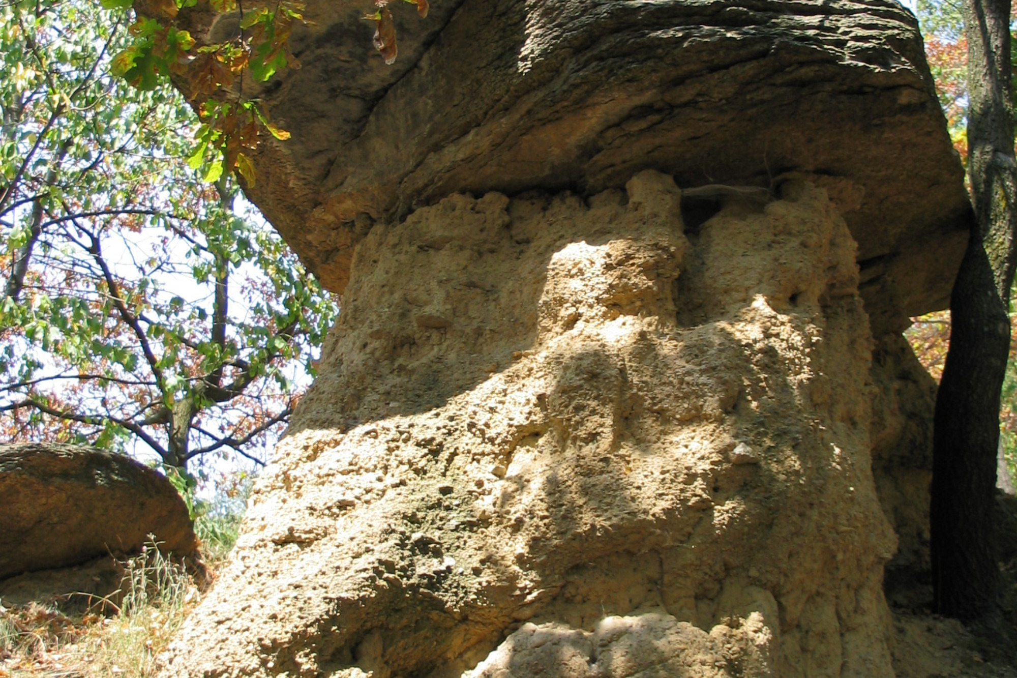
All that remains is to follow the itinerary taken on the outward journey back to the Ciciu del Villar nature reserve, a protected area worth visiting in which there are several hundred rock formations similar to giant mushrooms.
Photos and descriptions by Valerio Dutto of Cuneotrekking.com
Information
- Ascent: 650 m
- Distance: 29.0 km
- Region: Villar San Costanzo
- Seasons: Autumn, Spring, Summer
- Difficulty: Easy
Mountain sports are potentially dangerous activities and must be undertaken with the right equipment and preparation. We invite you to consult the weather and avalanche bulletin before embarking on an excursion and/or contact a guide for assistance. The Valle Maira Tourist Consortium declines any responsibility in relation to the advice and itineraries shown here, which must be evaluated personally according to the weather conditions and snow cover.
